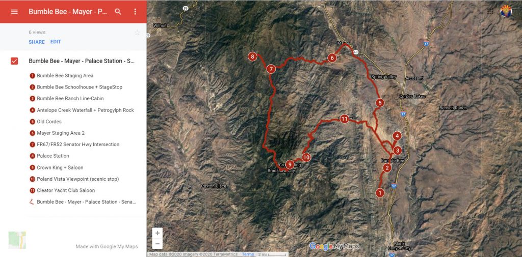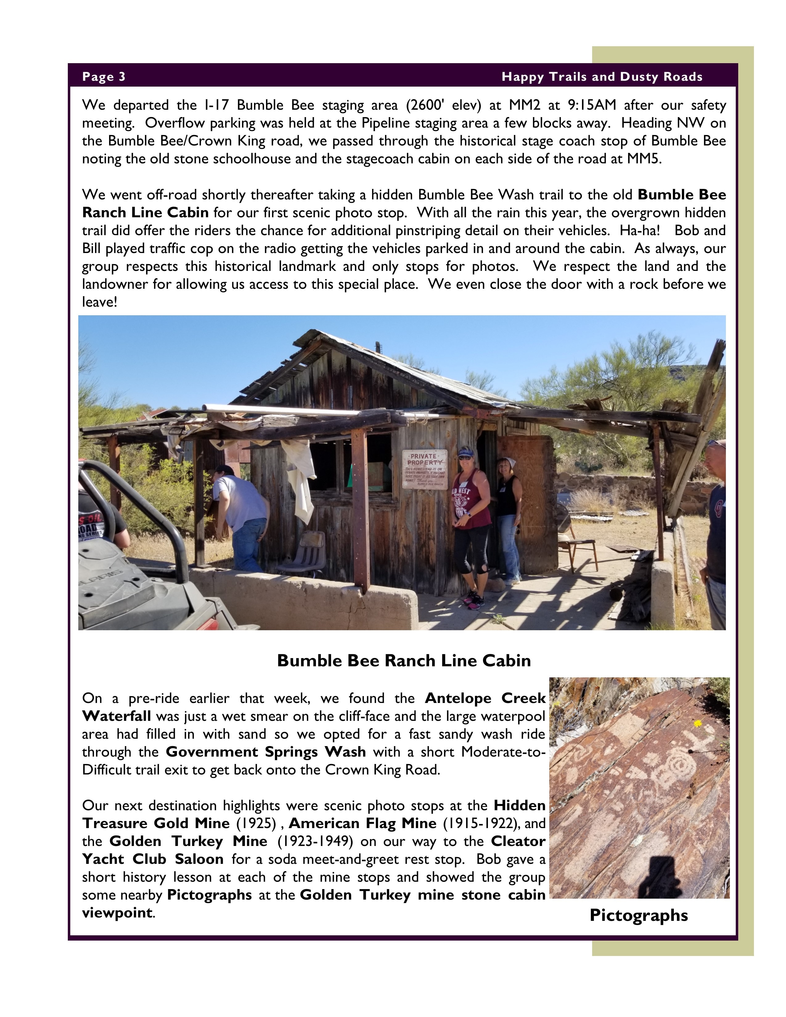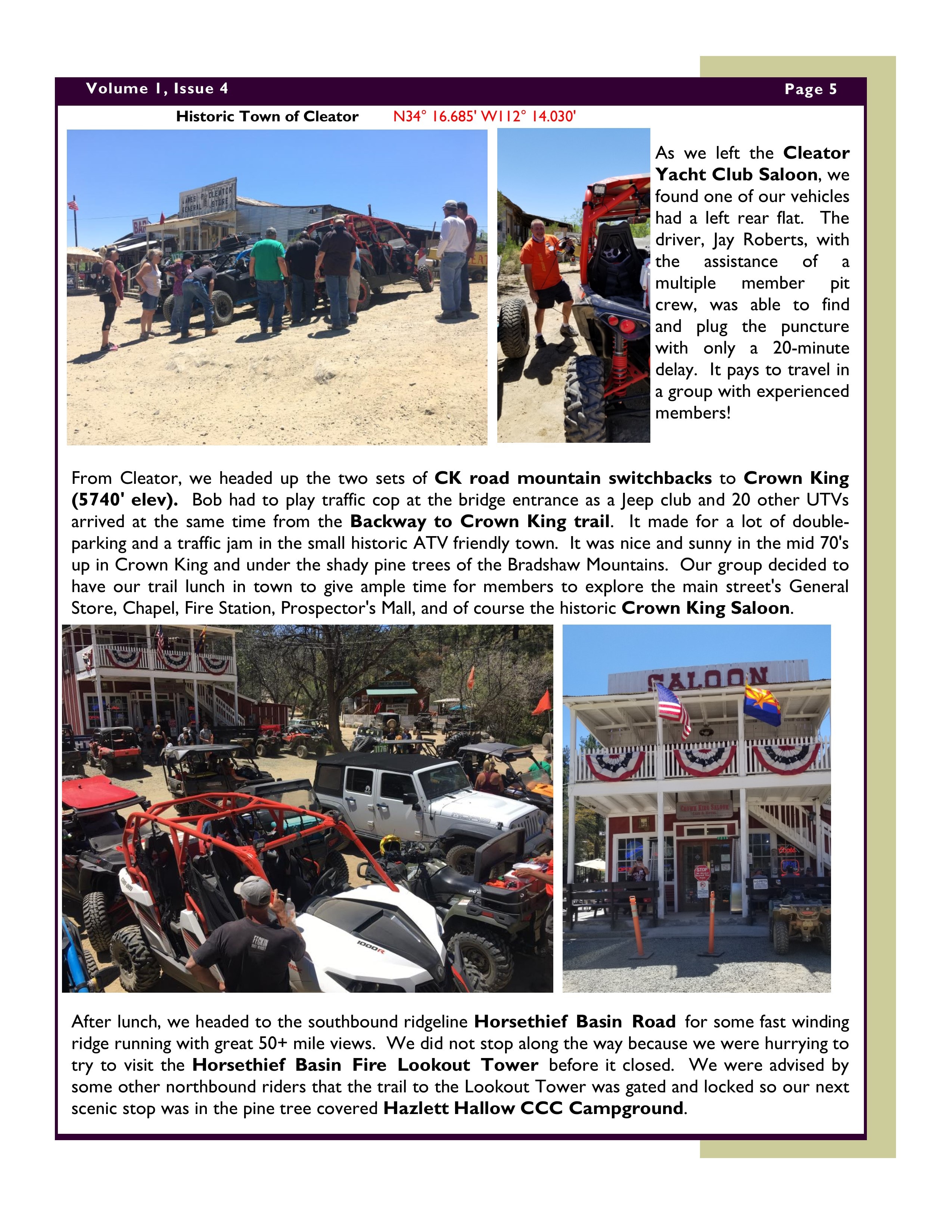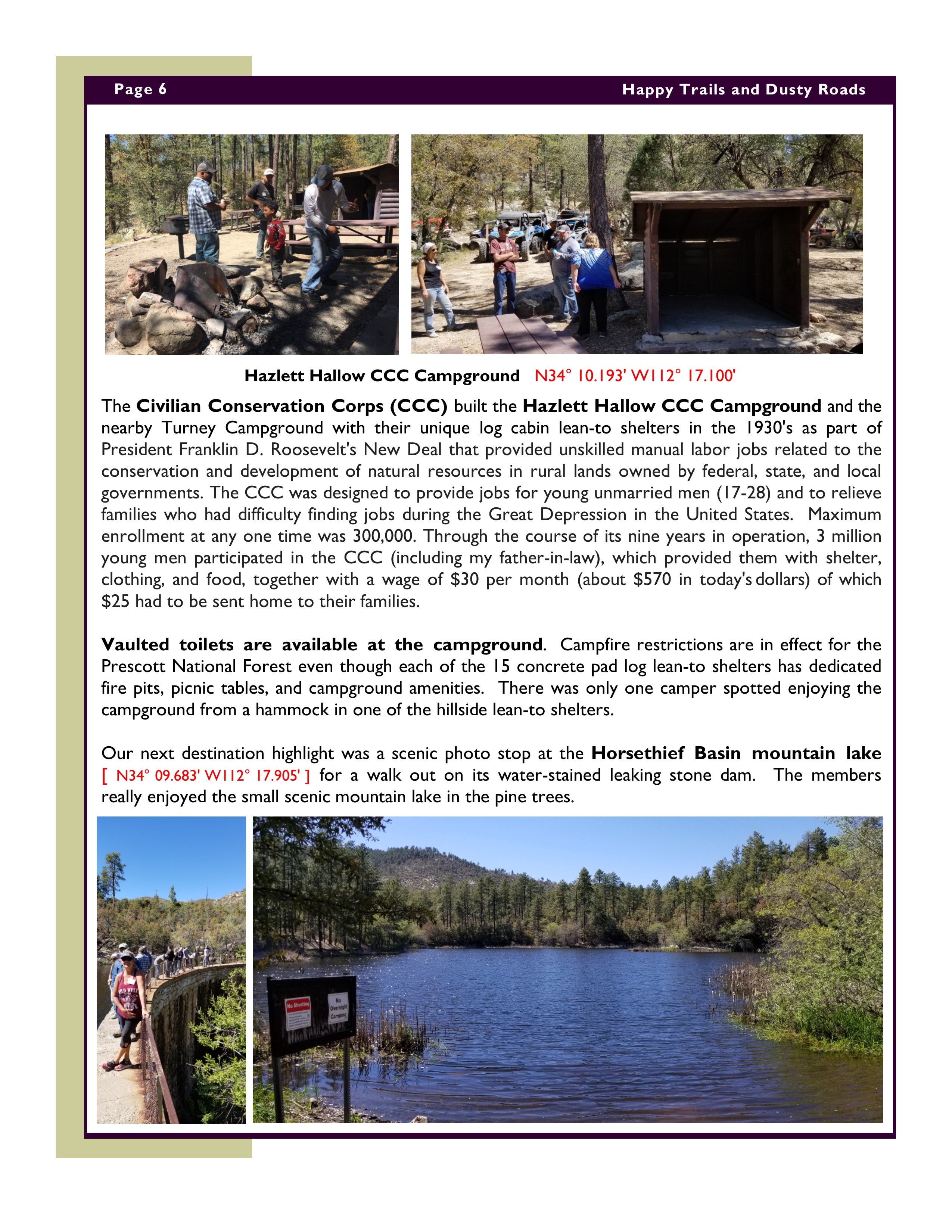
Ride Summary – Dec 15 Table Mesa East – OHV Ambassadors “Show-Me” Ride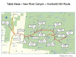
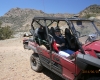
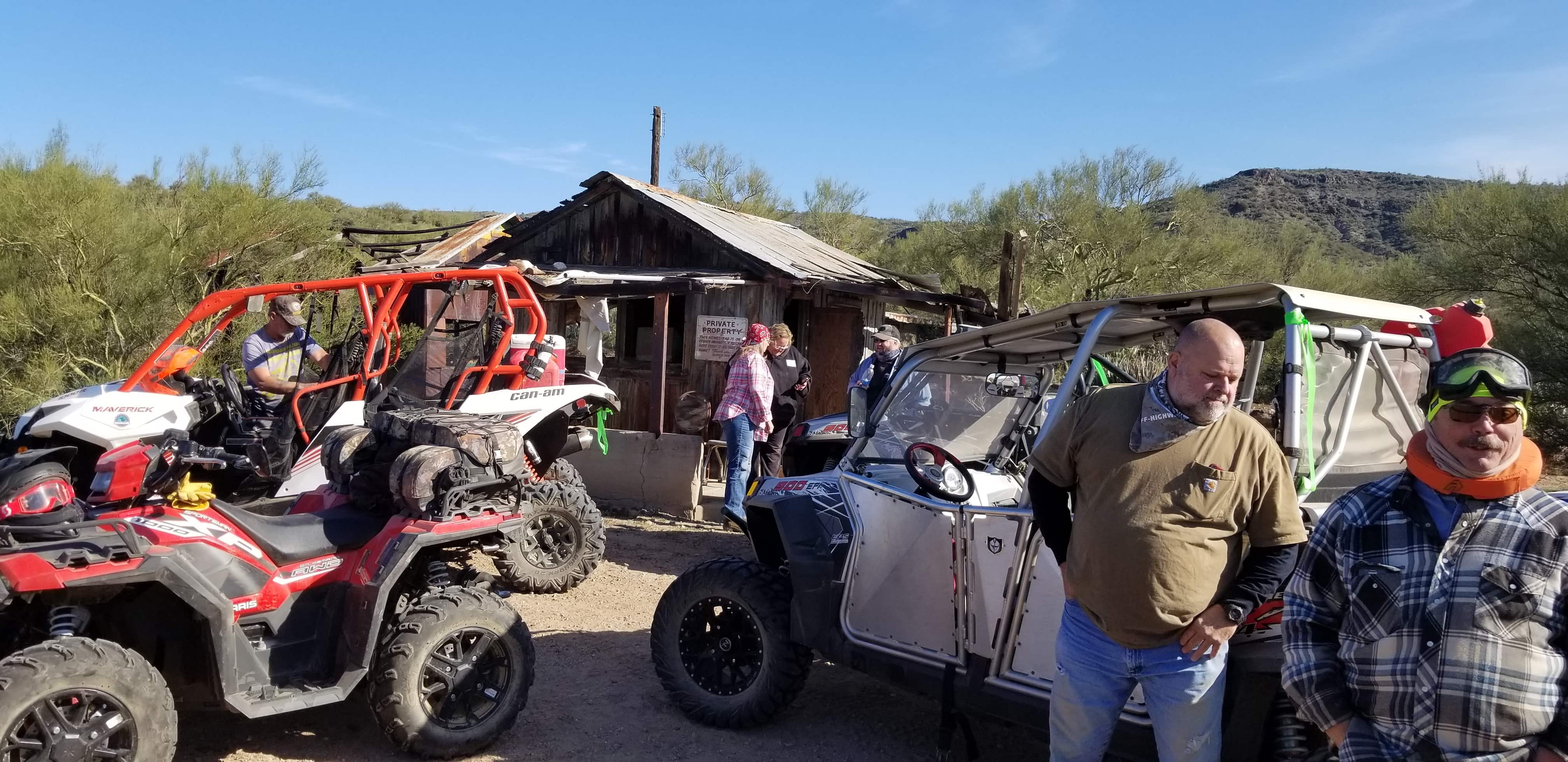
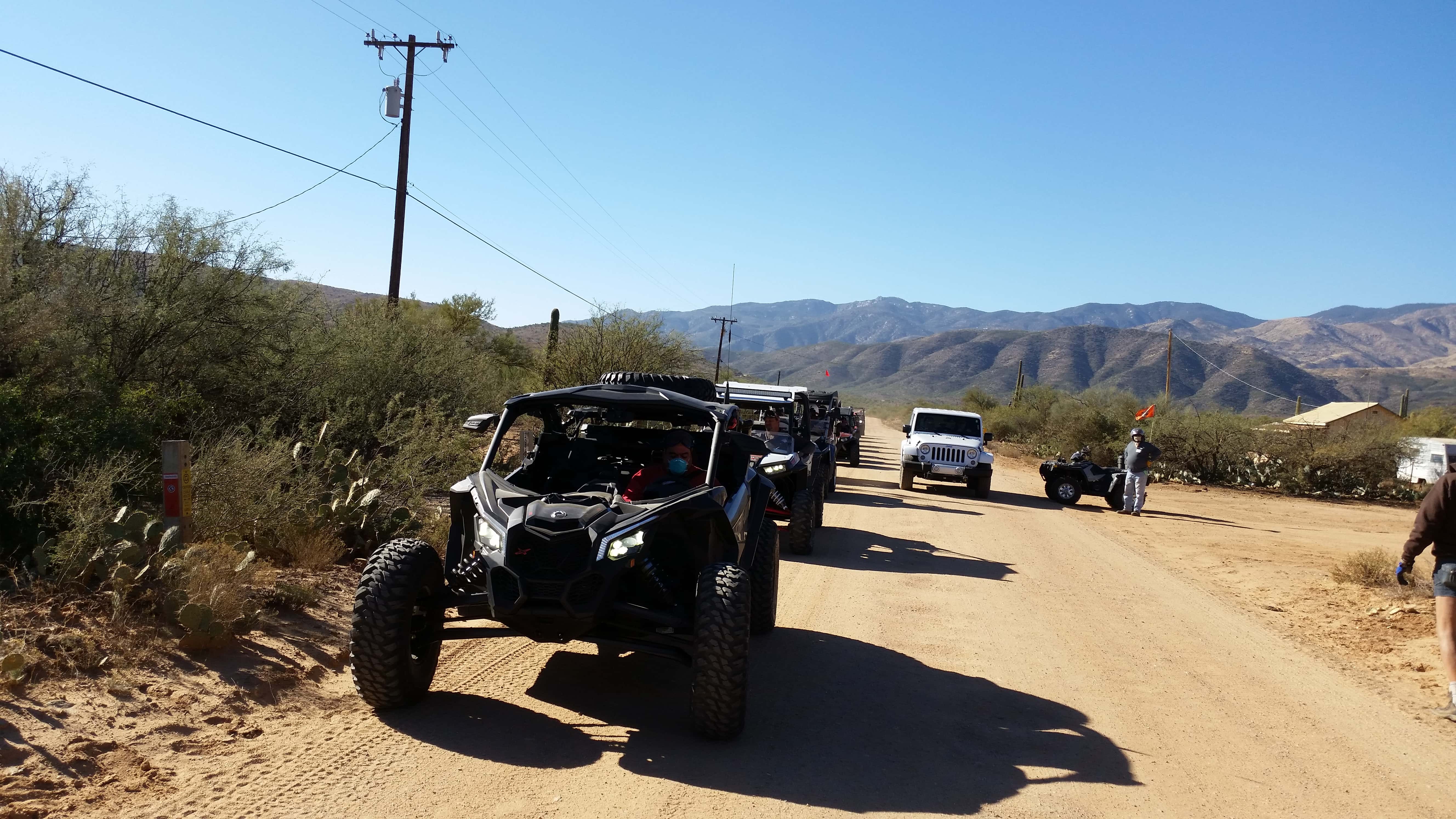
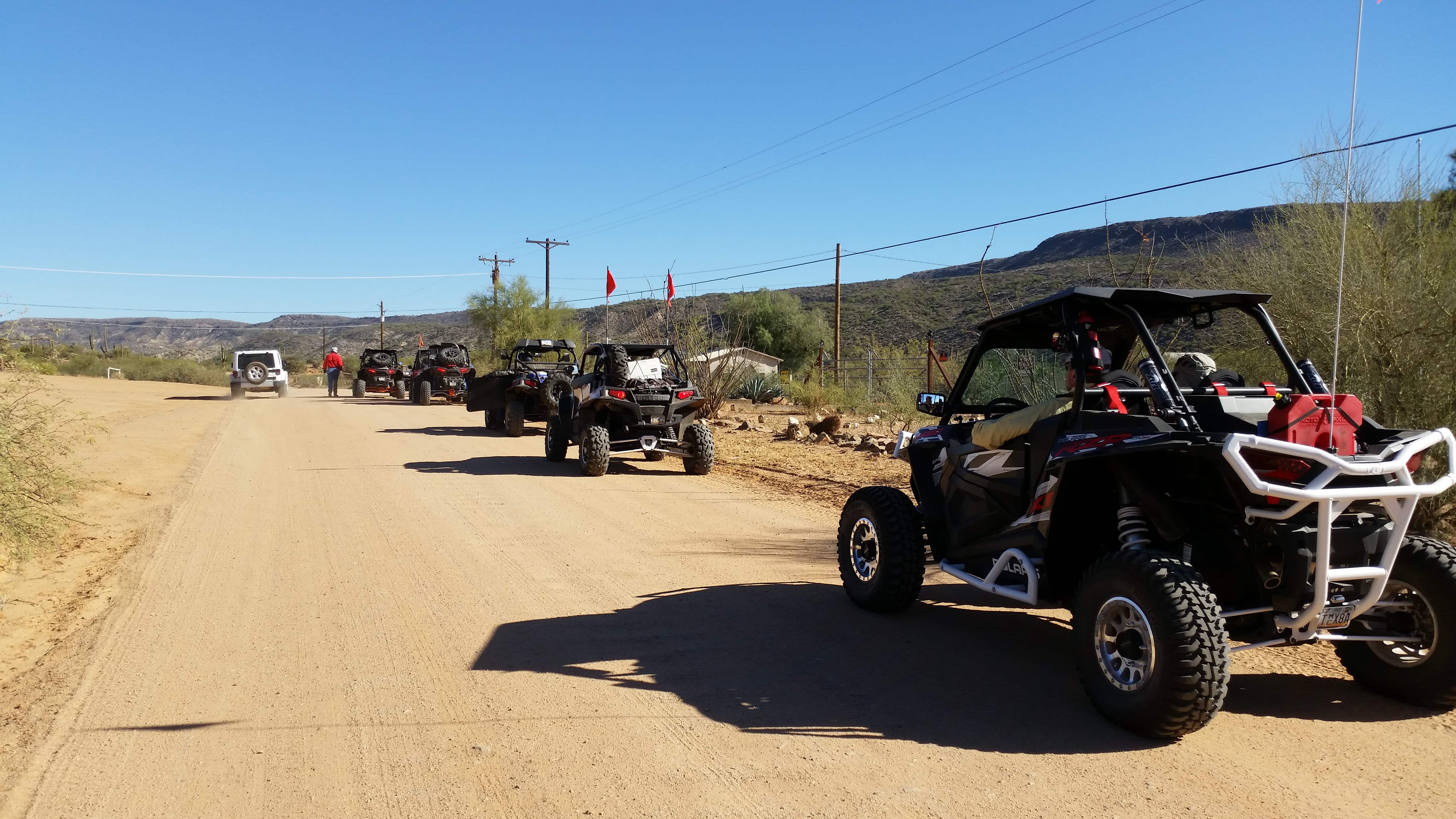
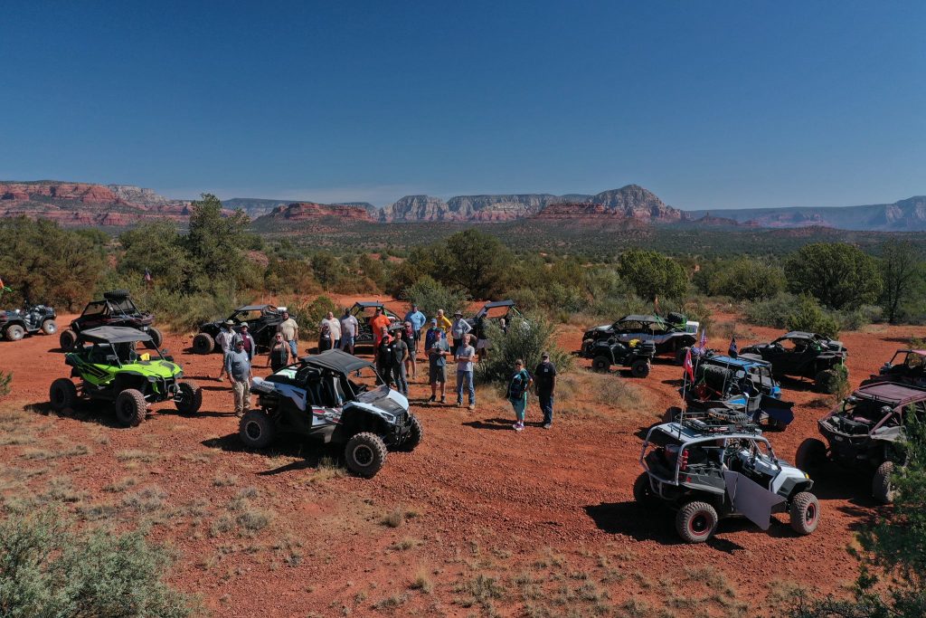
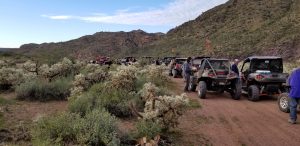
We had a nice cool weather for the Dec 15th Table Mesa East – OHV Ambassadors “Show Me” Ride through New River Canyon to Humboldt Mountain. There was a good turnout of adventure-seeking participants (including 2 small dogs) in 40 vehicles that showed up for the ride. The ride leader, David Q held the safety meeting and talked about the ride route and future AZ OHV Ambassador rides. We divided the group into two flights. Bob M was the Roadrunner group flight leader heading out first with 24 vehicles. David lead the second Coyote group flight of 16 vehicles taking another Table Mesa trail to put a little distance and time between the groups before entering the New River Canyon trail (FR41). We only had five Ambassadors helping out on this ride but a number of experienced veteran riders stepped forward as wingmen and tailgunners. I want to give a big Thank You shoutout to David McC for volunteering to be my Roadrunner flight’s tailgunner. Great job on the radio and in watching over the group!
Prior to the safety meeting, one of the Arizona Game & Fish vehicles could not get their SxS started due to a depleted battery. Bob M lent the two AzG&F interns his compact NOCO Genius GB40 Power Boost unit to restart their SxS. It pays to have one of these units on your quad or in your car for “self-recovery” on the trail. Batteries fail all the time in the Arizona heat.
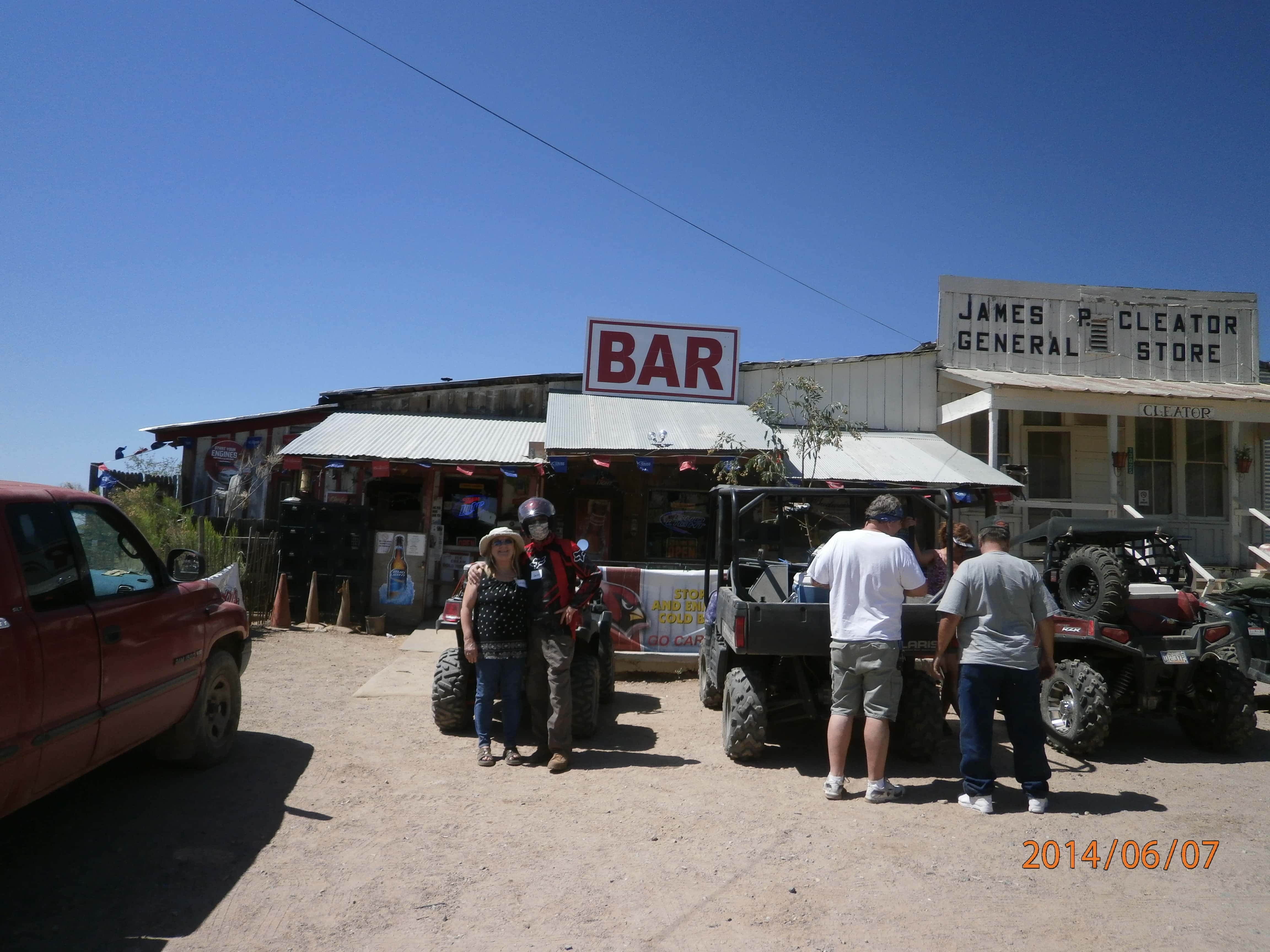
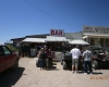
It was nice seeing some familiar snowbird faces return to the Valley and very nice to meet new people interested in OHV riding at our meet-and-greet stops.
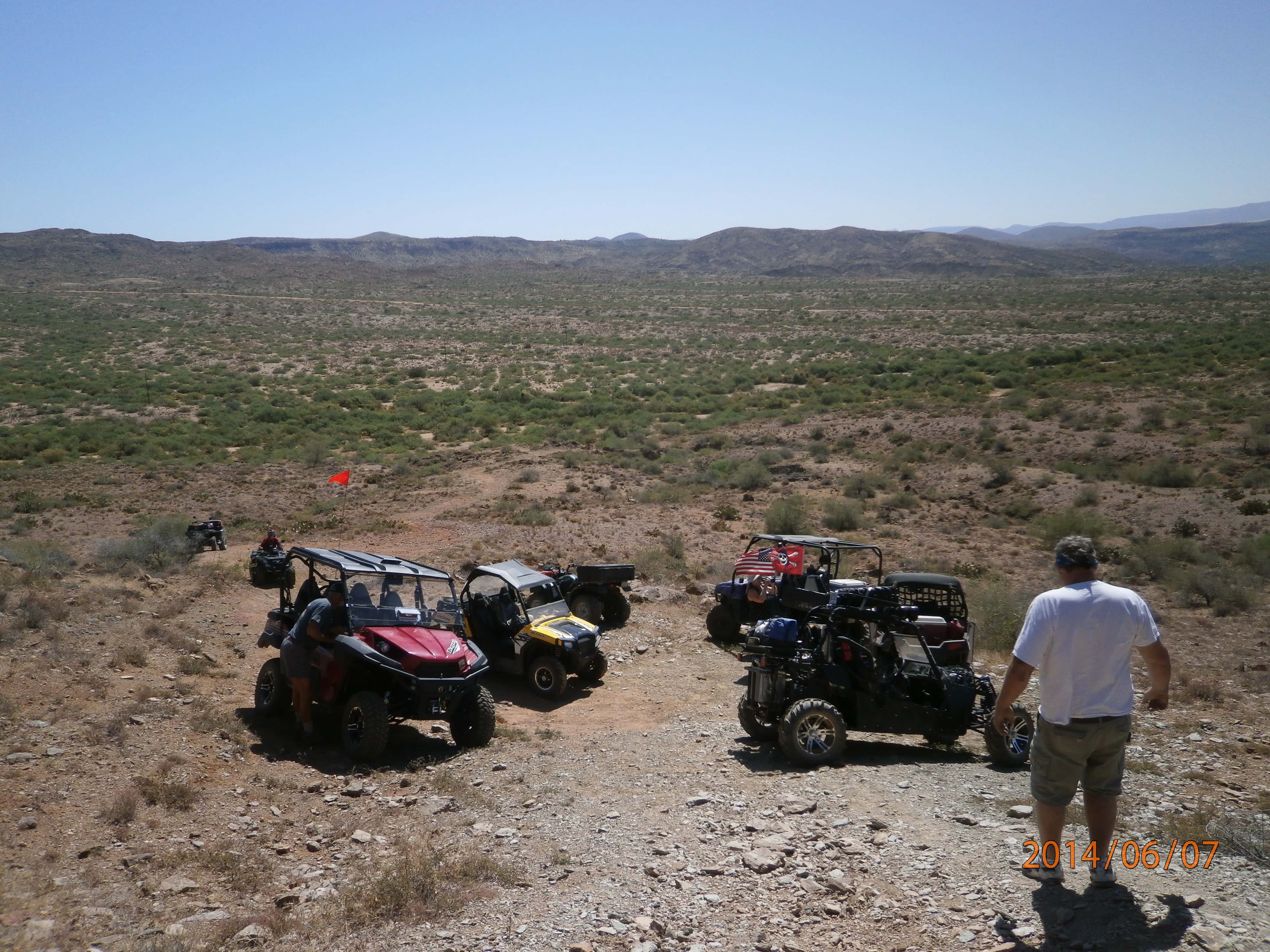
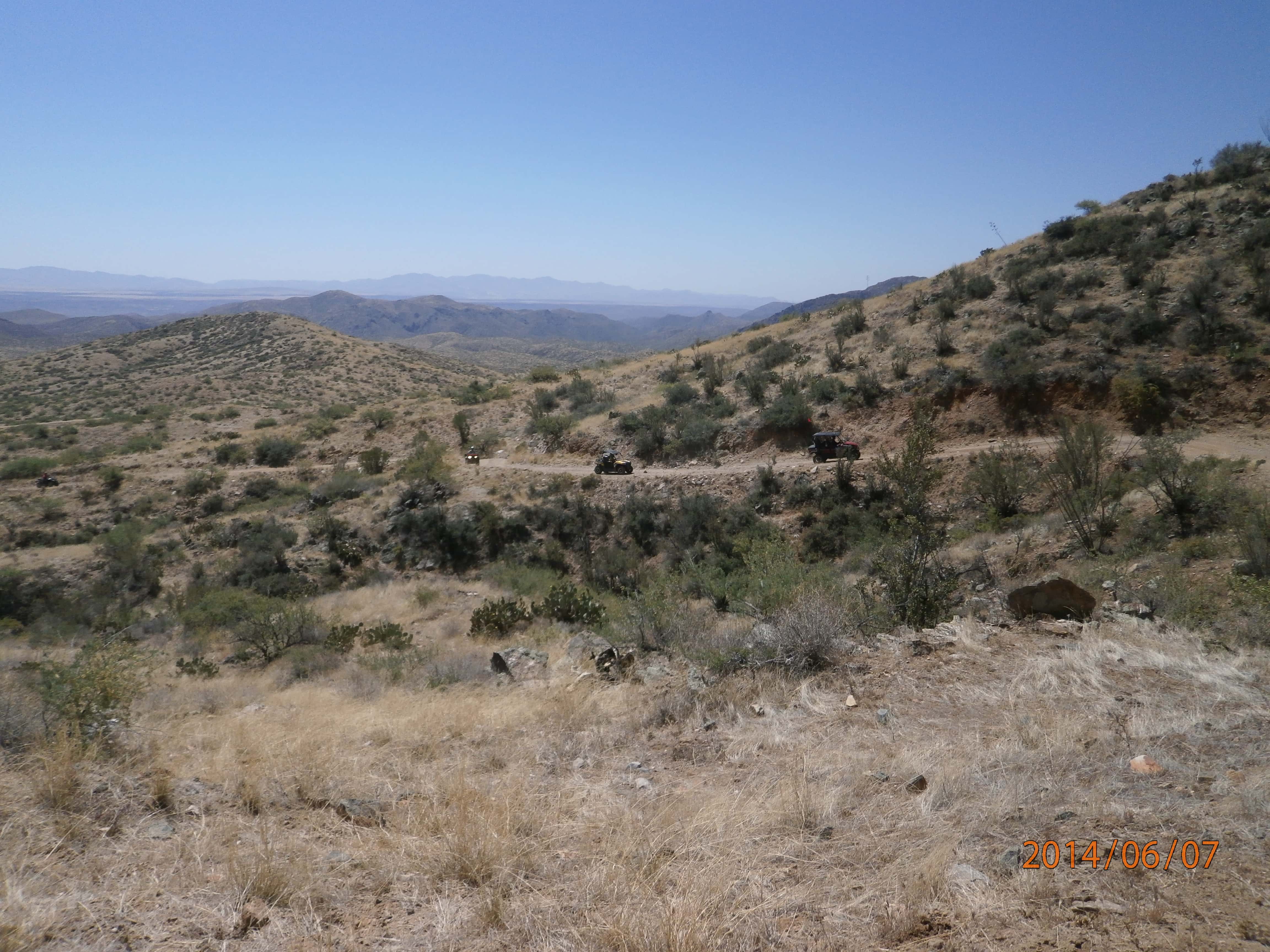
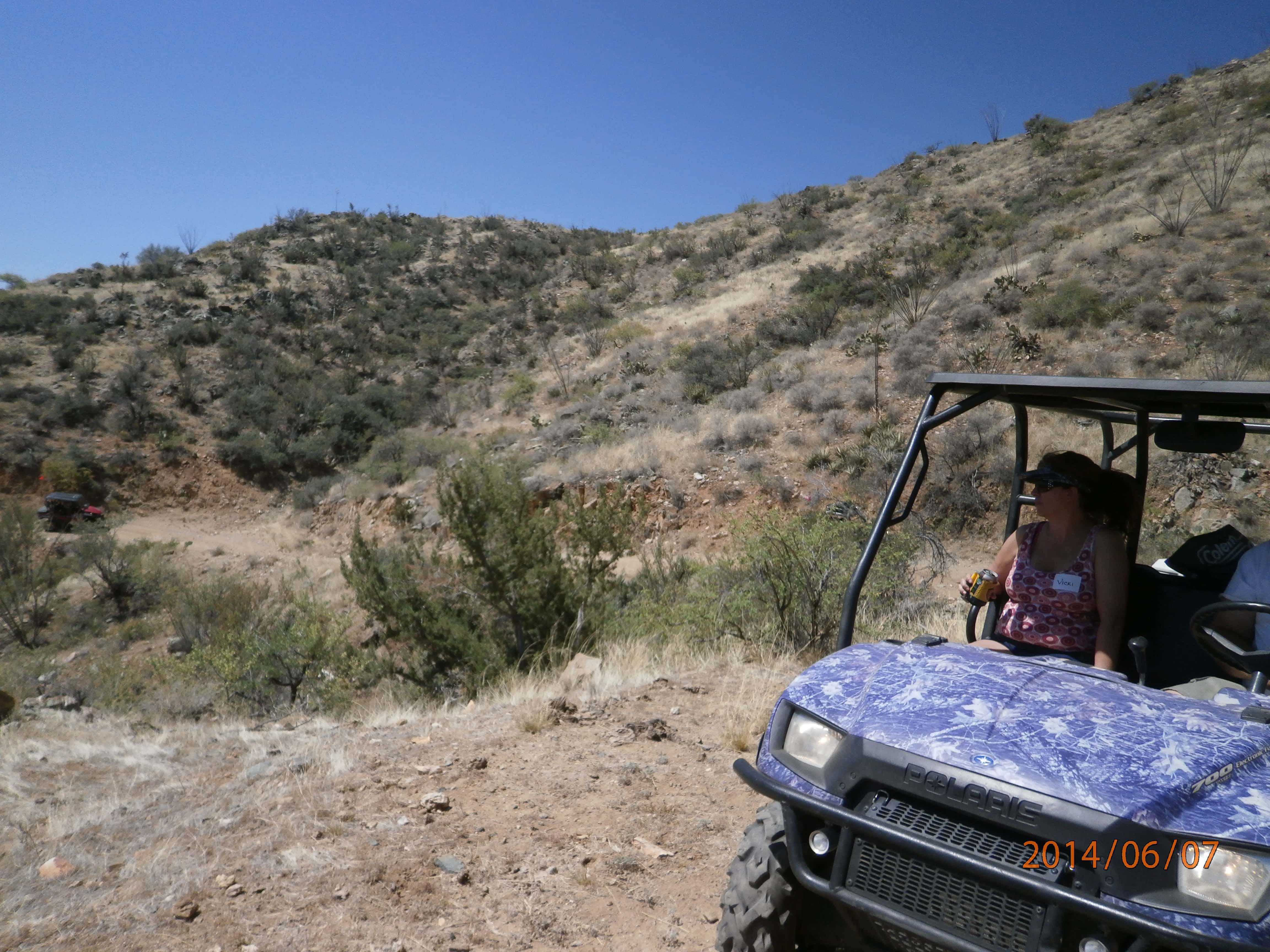
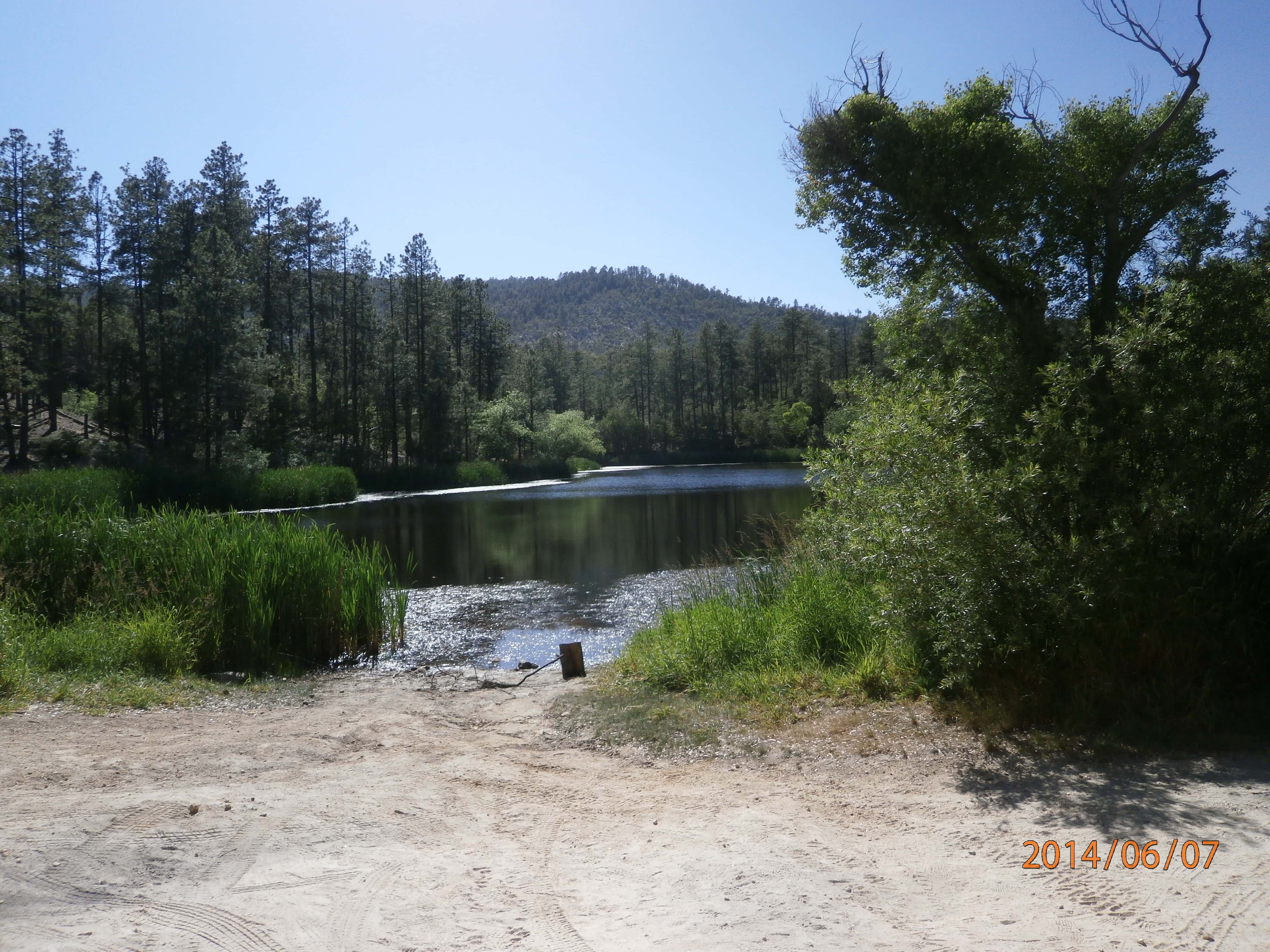
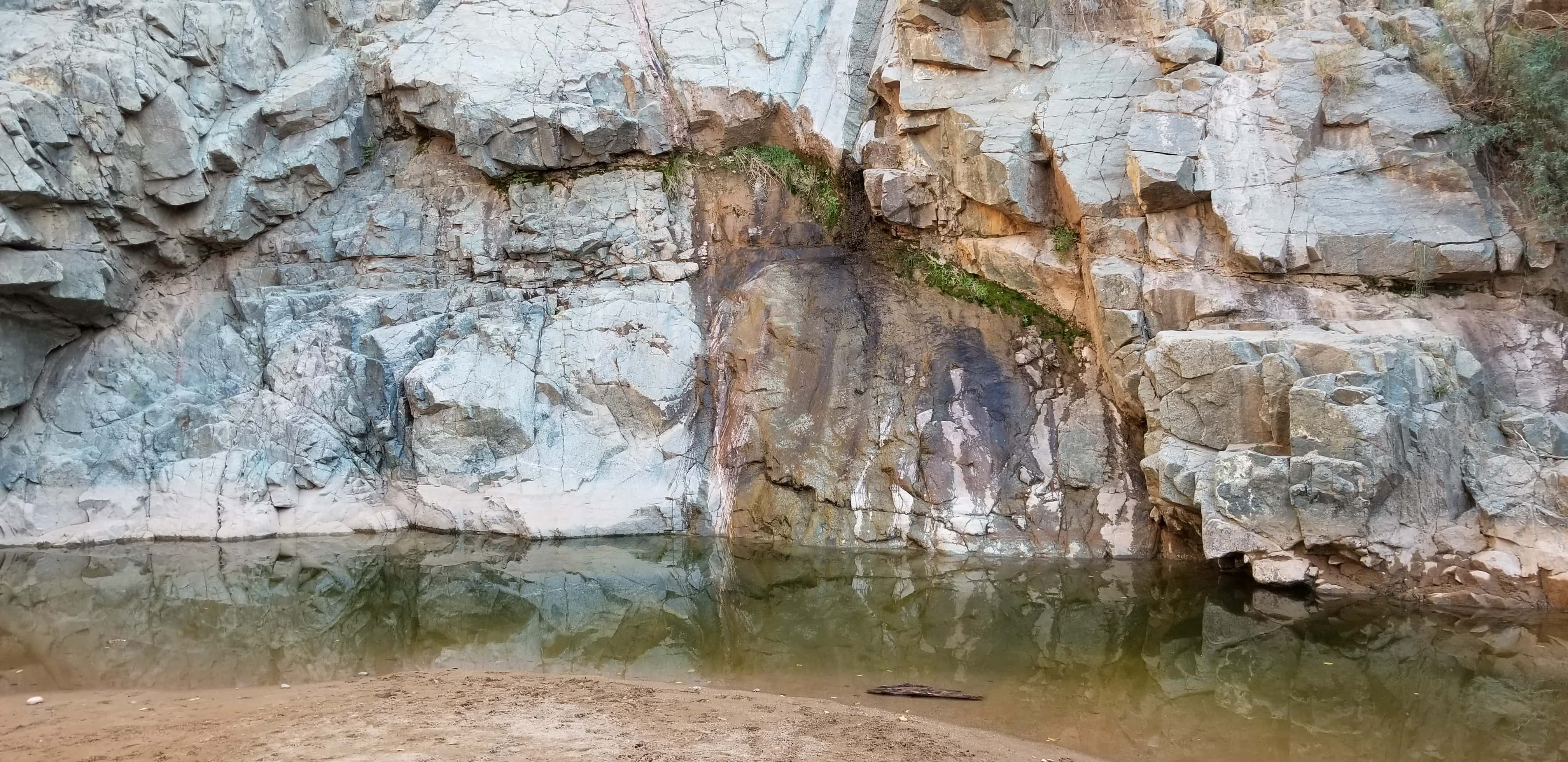
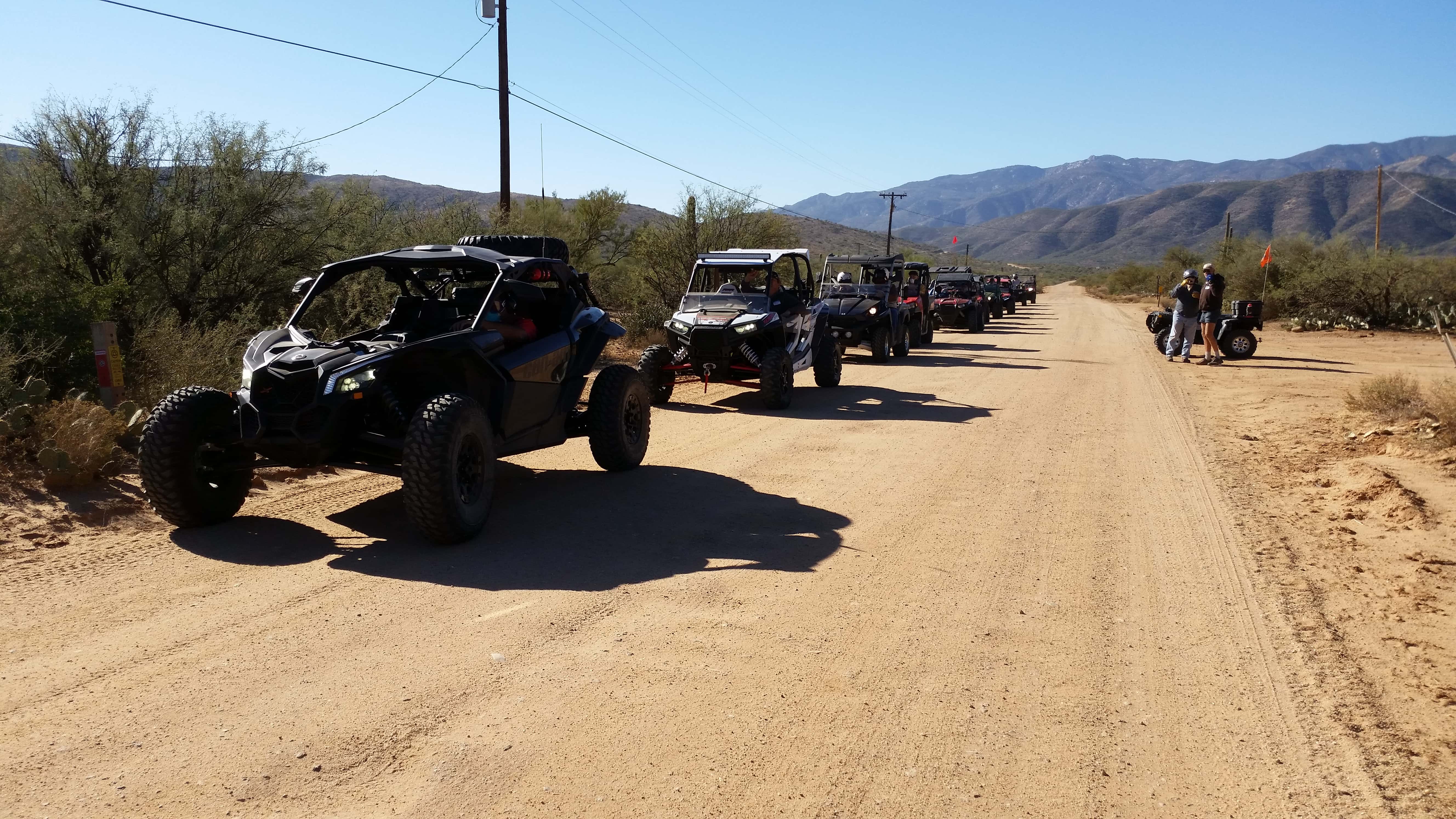
After the general announcements and our safety meeting, we departed at 9:45AM heading back to the I-17 Table Mesa entrance. The two flights headed east on the scenic New River Canyon trail [FR41] with its many changing elevations and varied terrain. All three water crossings on the trail had 6″-12″ of water including a 20′ wide spring-fed puddle further in. The dust conditions were not too bad considering the size of each flight. To minimize riding in someone’s dust, the group was stretched out over a mile or more at times but maintained a good pace. We did not use the rotation method on this ride but instead opted for collapsing the group occasionally to maintain radio contact. Visibility was excellent and everyone watched over their trail buddies behind them so no one got lost.
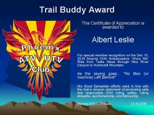
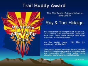
Five miles into the ride just before the first water crossing, the Roadrunner’s “first” tailgunner, Mike M’s SxS broke down delaying the group on each side of the water crossing for 10 minutes. Albert L volunteered to take Mike back to the staging area to retrieve his truck and trailer. This is one reason that you don’t ride alone in the desert. The Roadrunner flight continued for another mile where they had to stop again to find out who had their VOX turned on their walkie-talkie resulting in a “hot mike”. At this point, Ray & Toni H volunteered to go back and stay at Mike’s disabled vehicle to help them reload it and to also buddy-ride with Albert to rejoin the flight group. That’s what being a good “Trail Buddy” is all about. Watching out for each other’s safety… riding etiquette… sportsmanship… and responsible OHV riding.
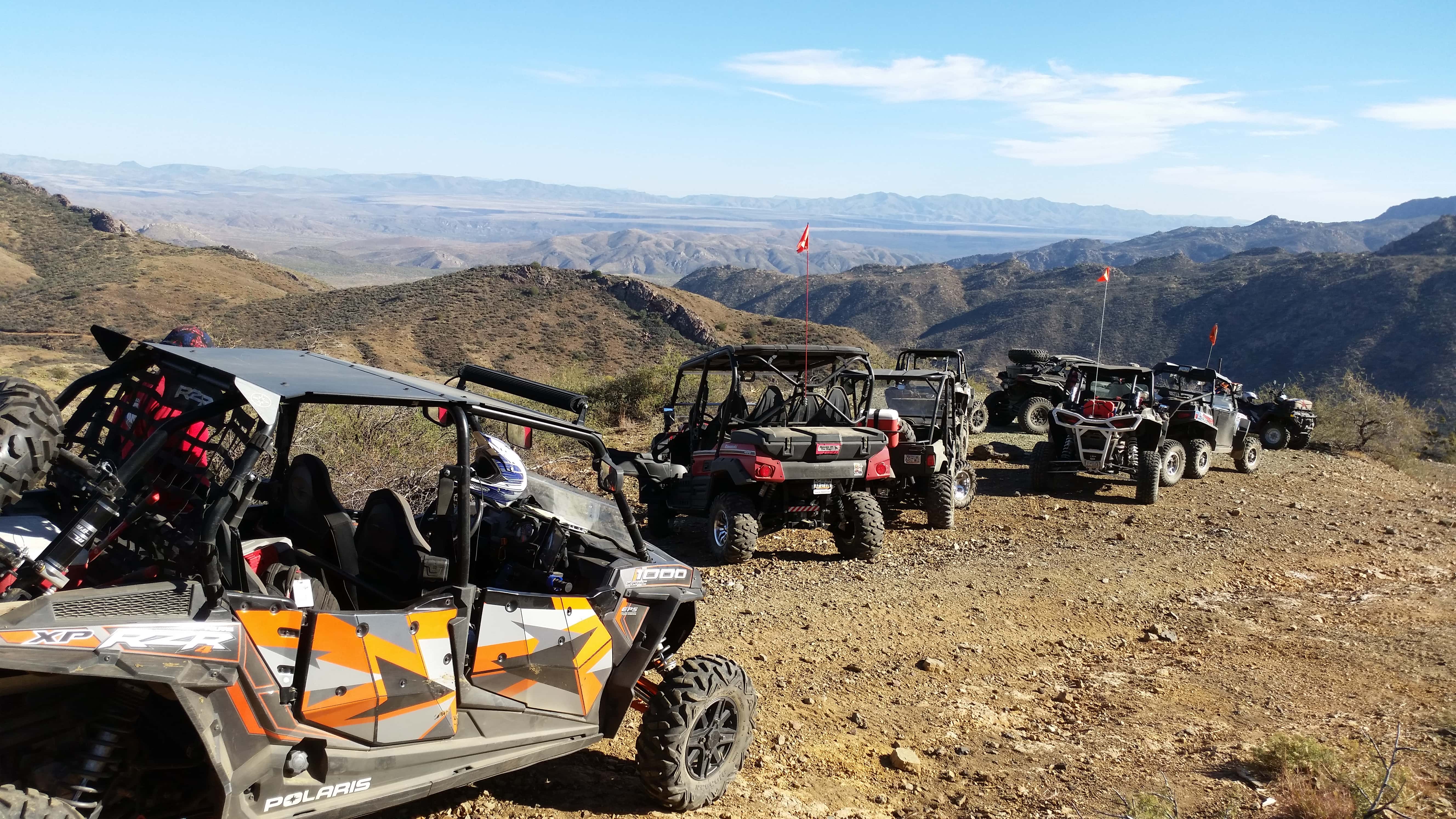
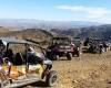
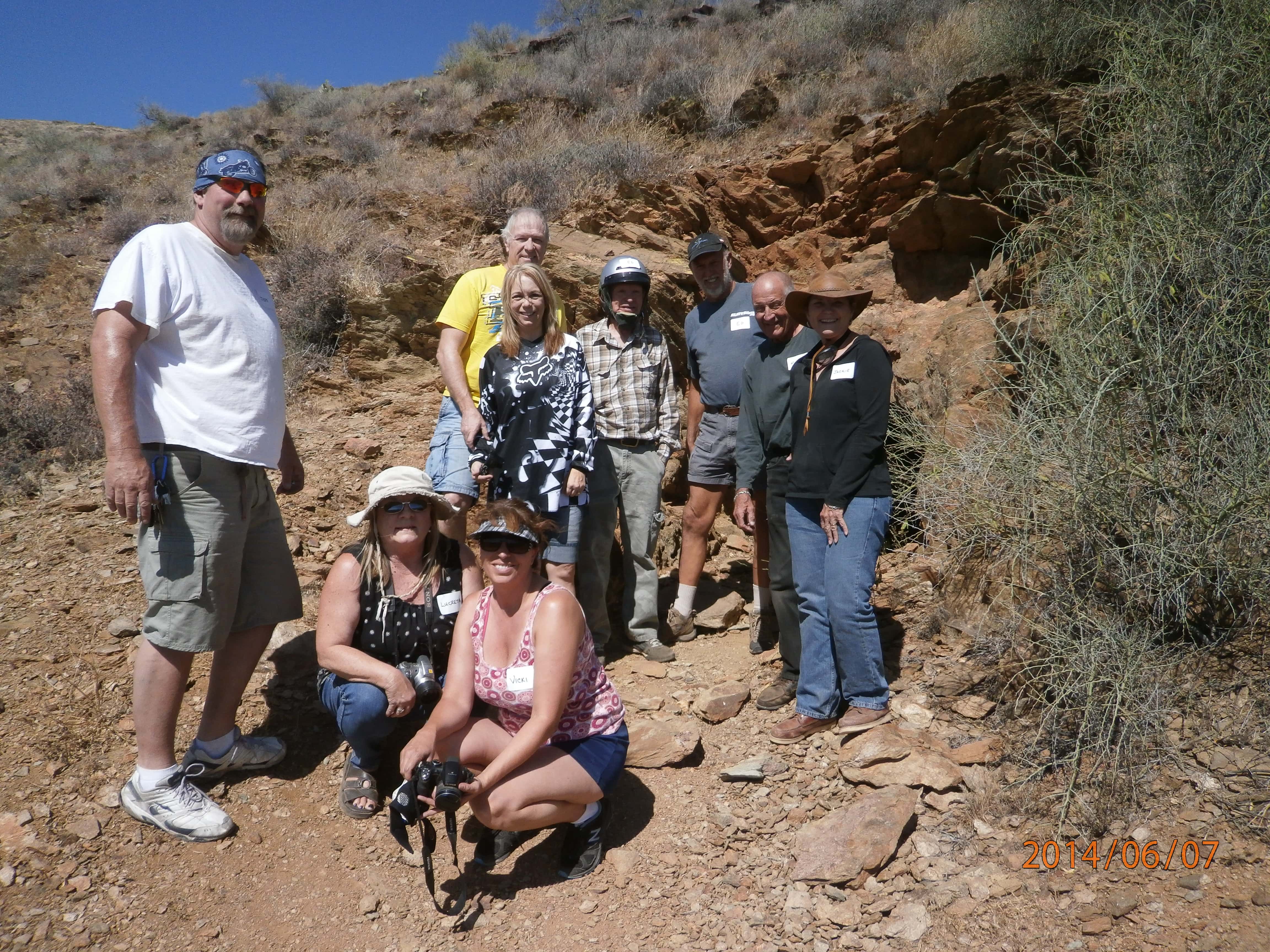
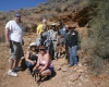
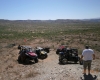
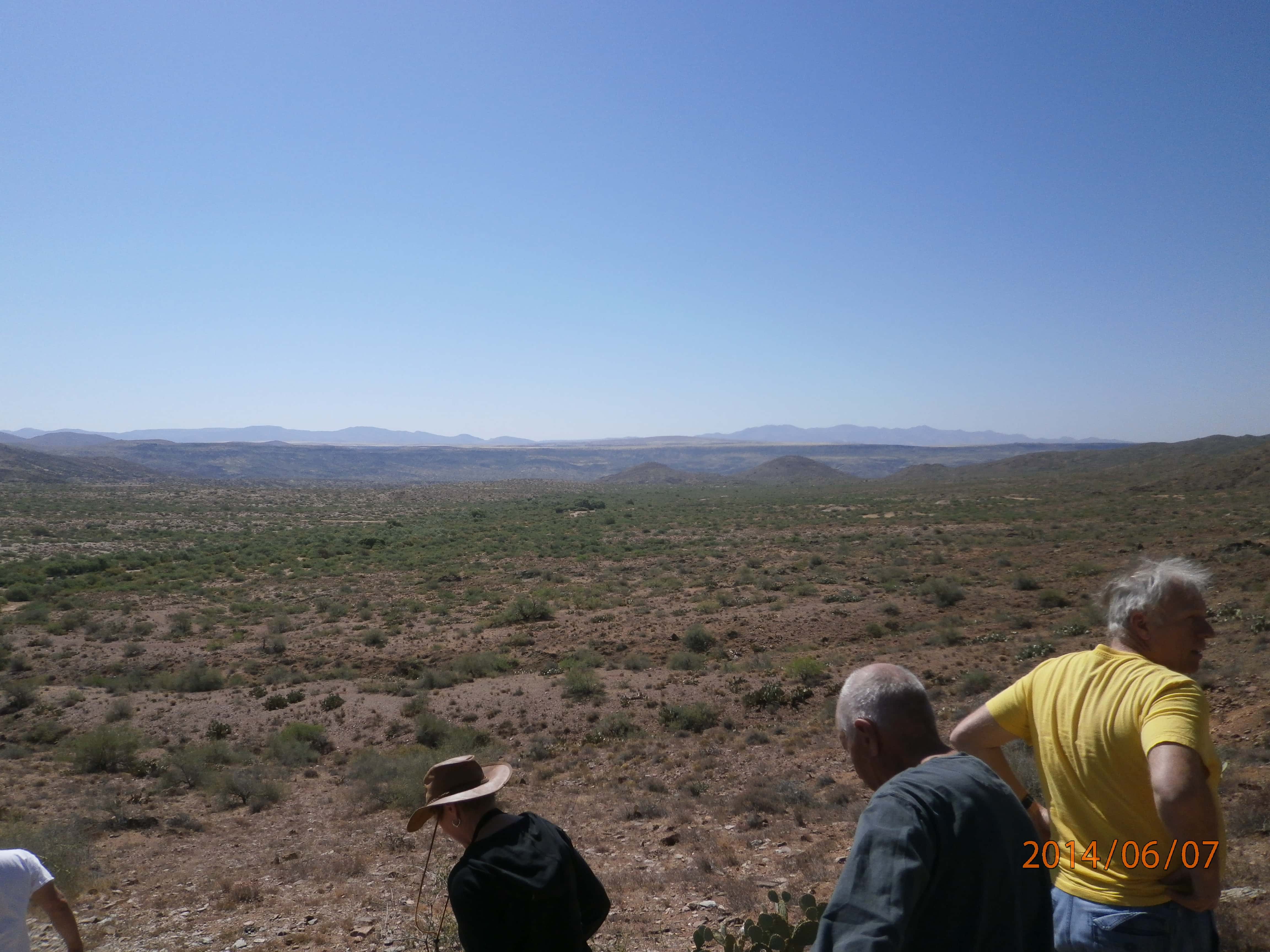
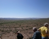
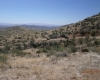
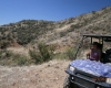
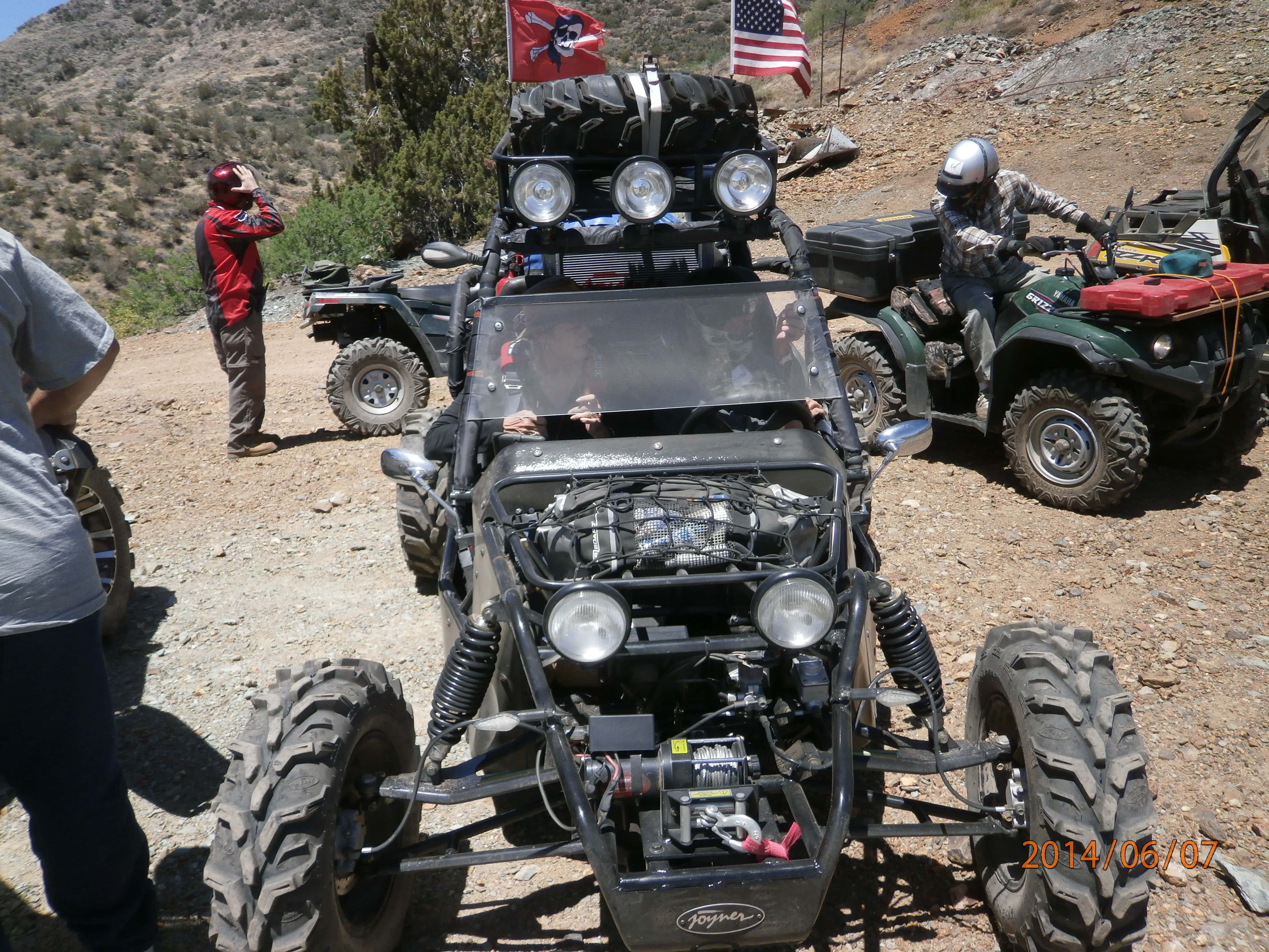
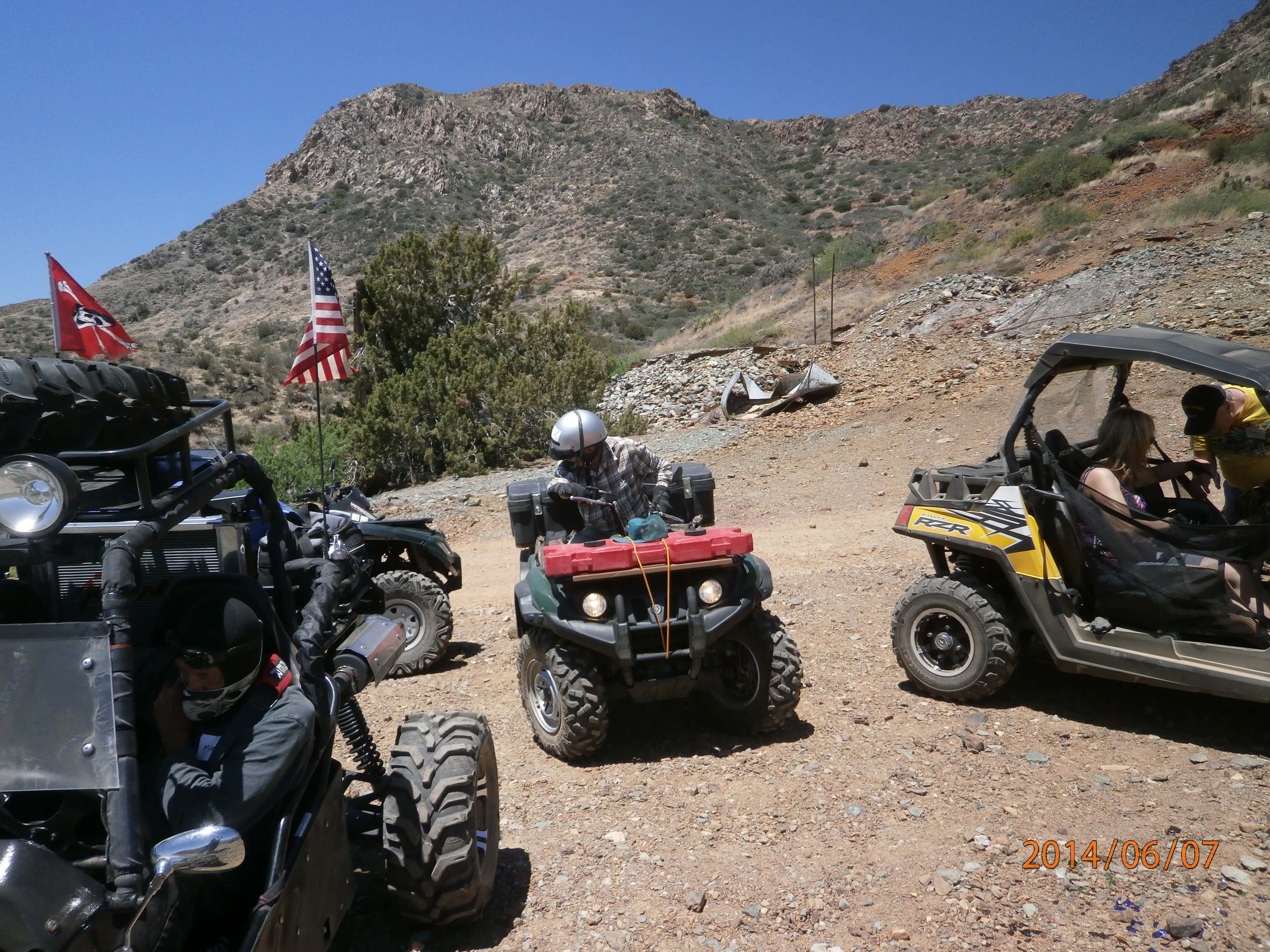
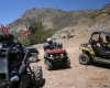
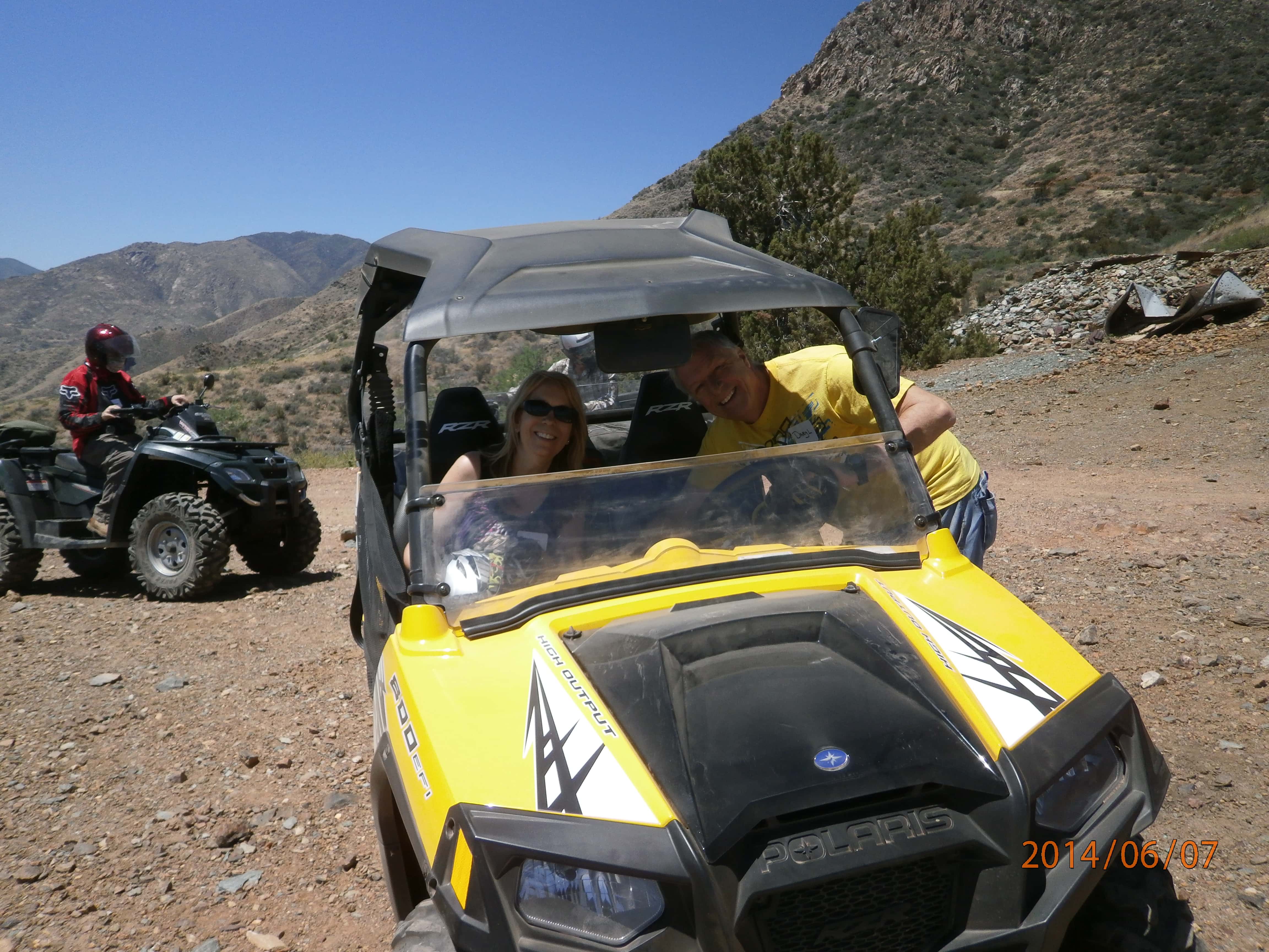
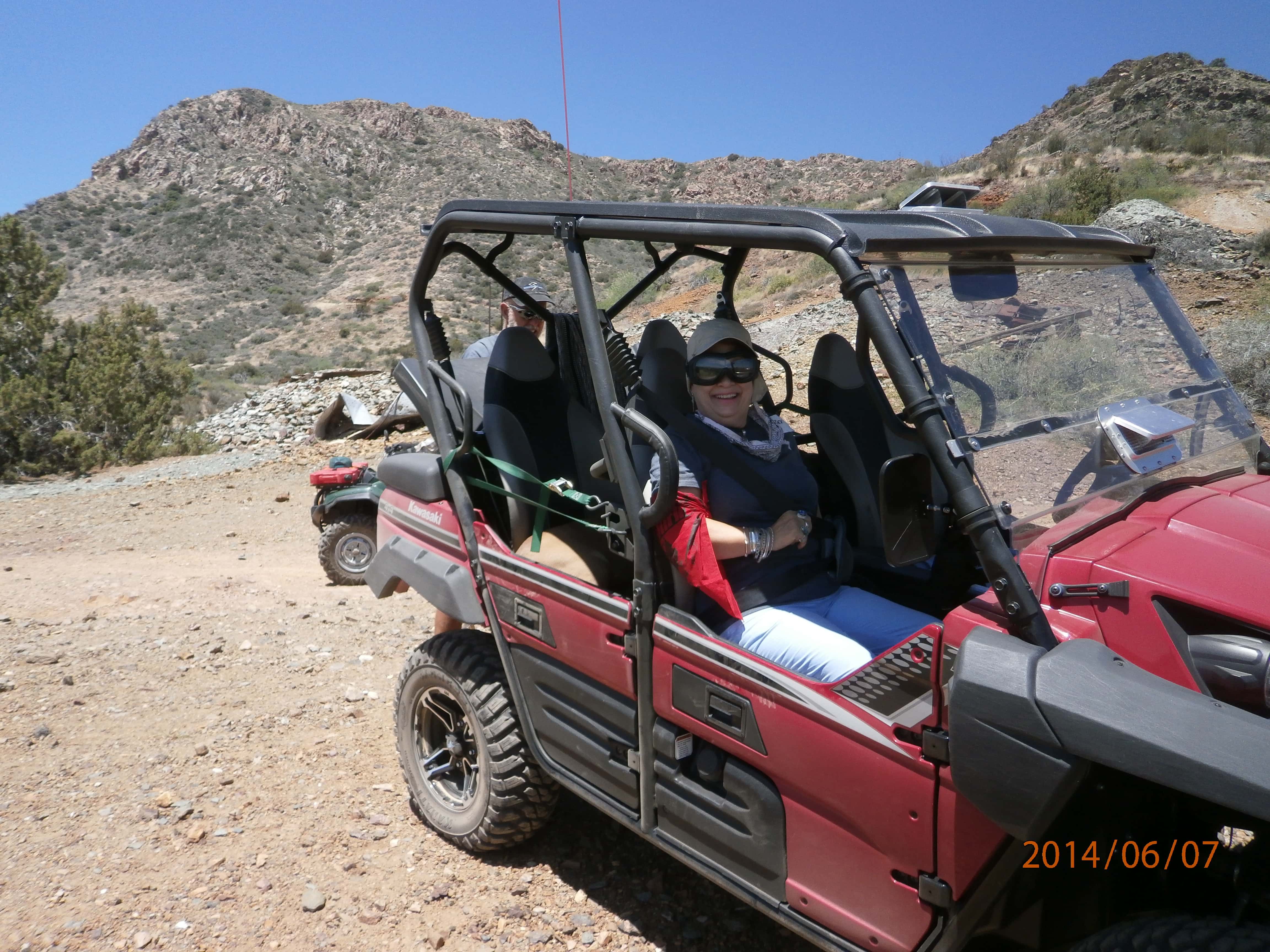
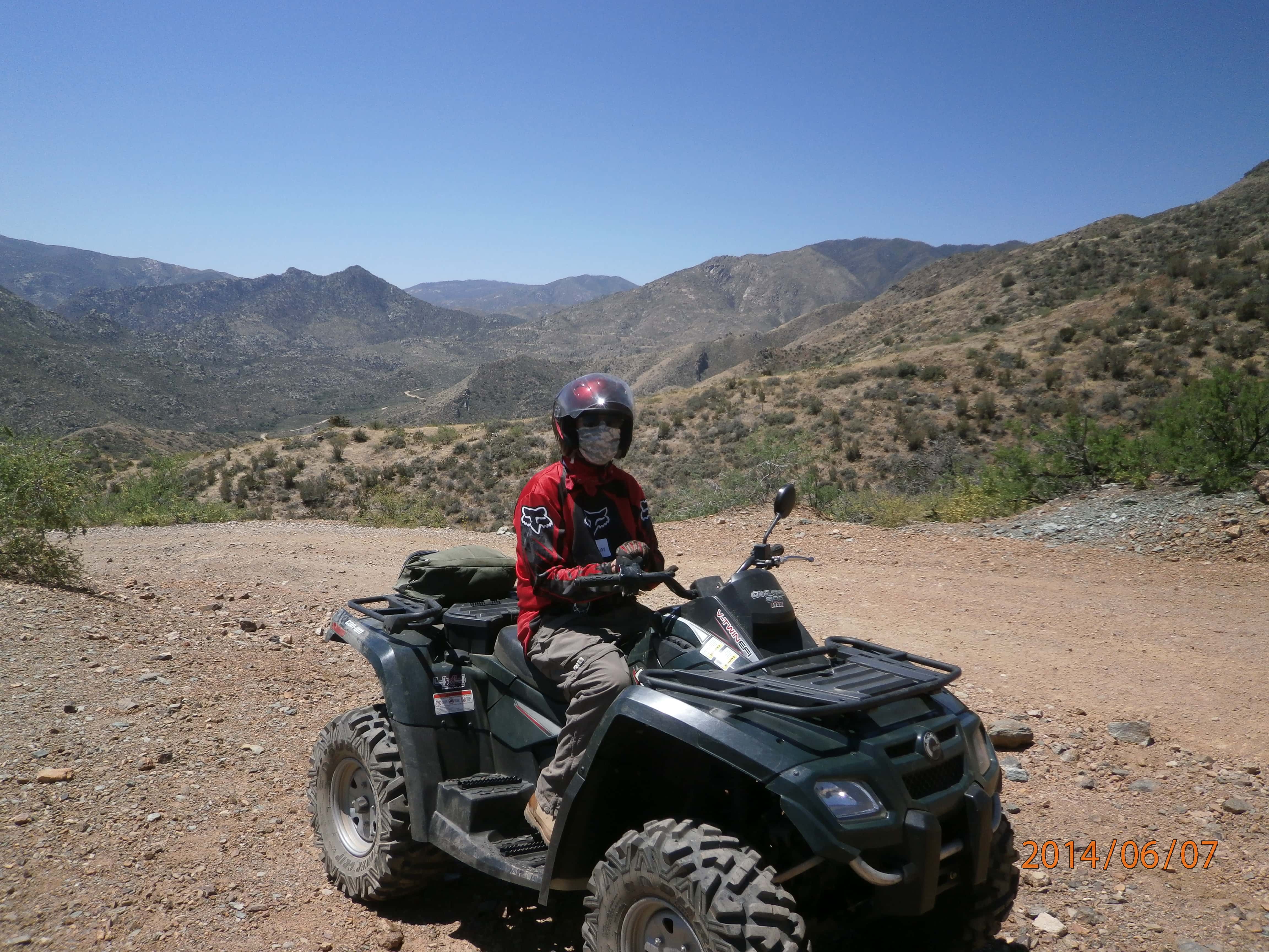
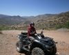
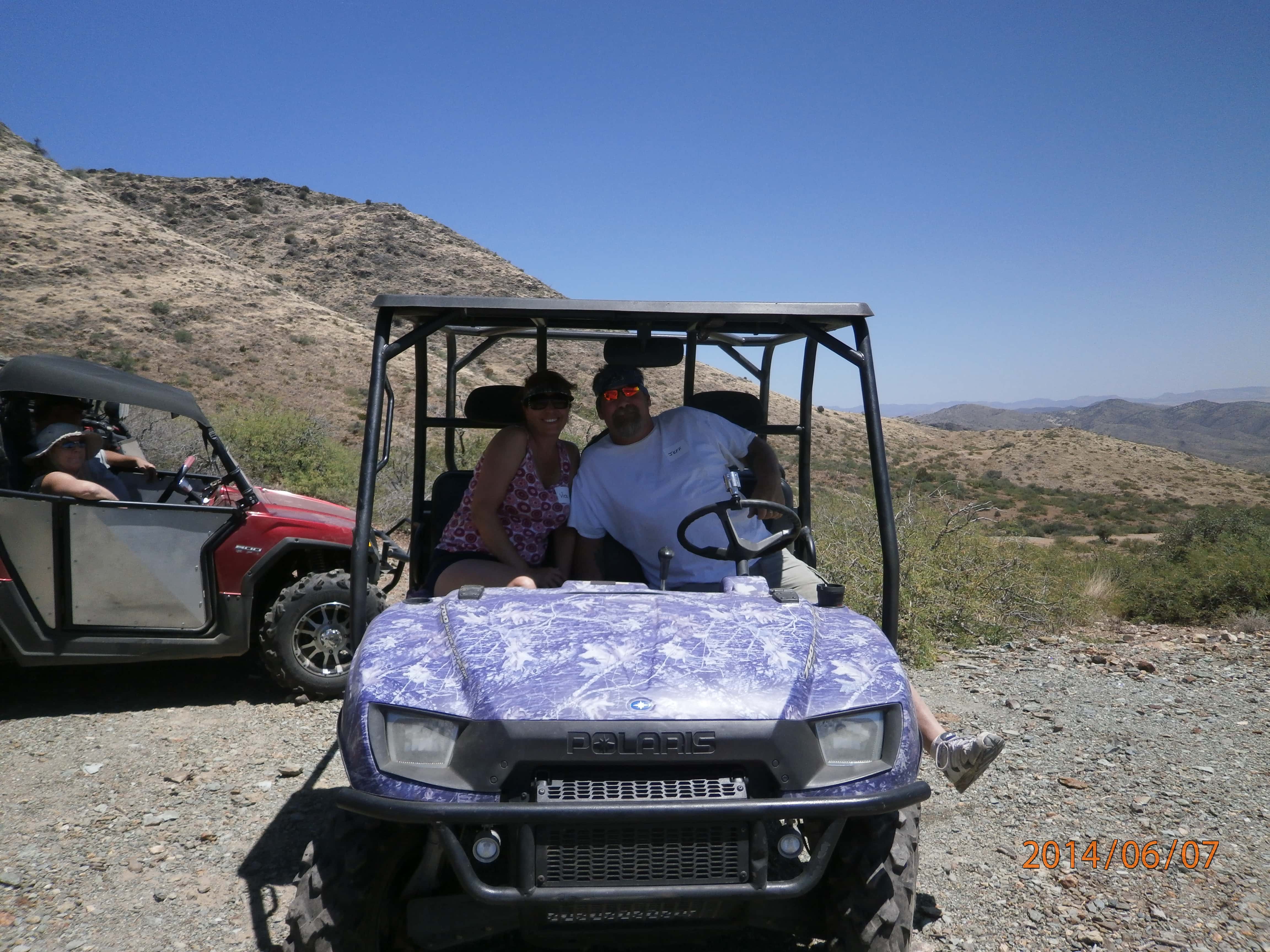
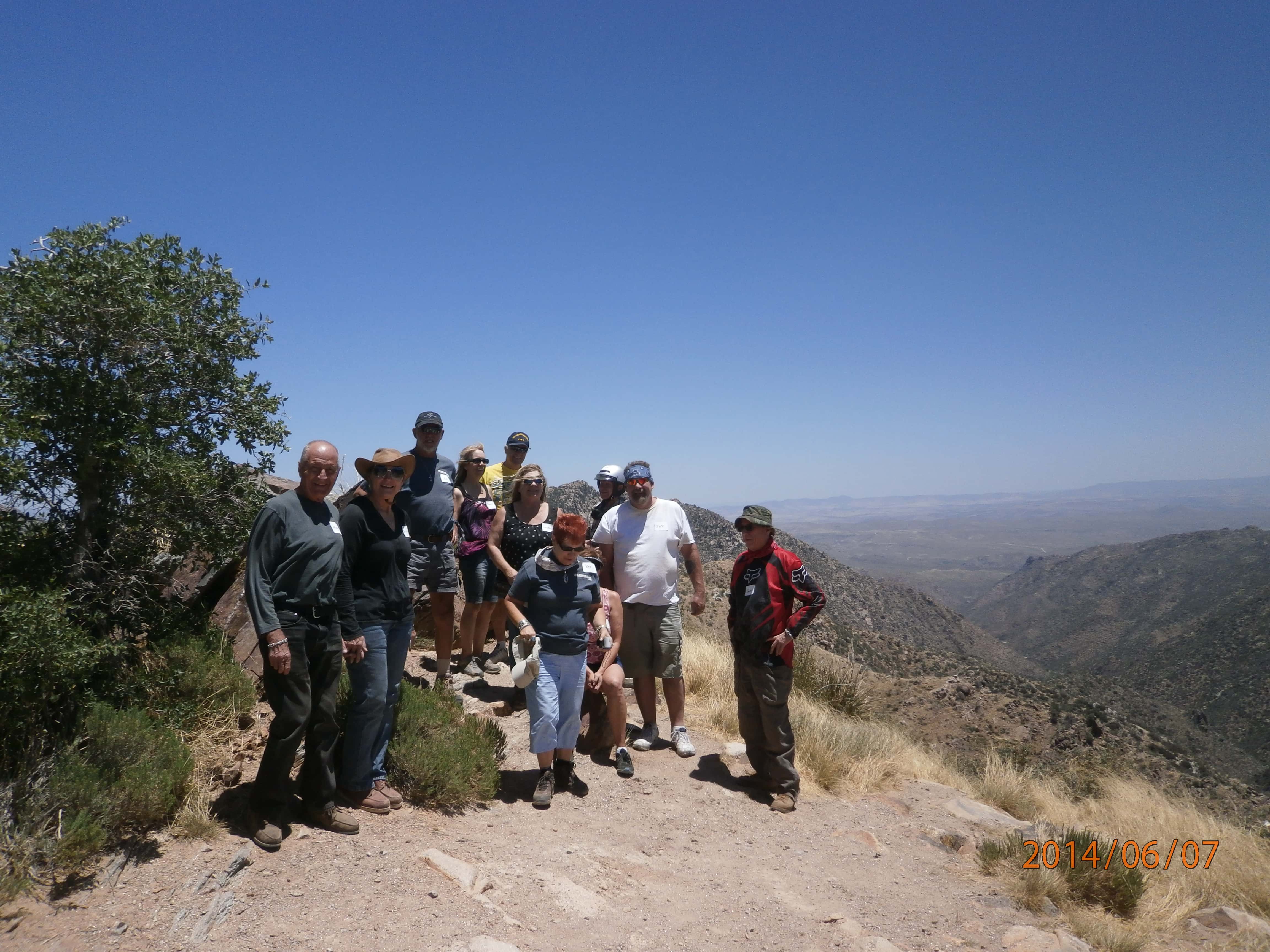
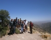
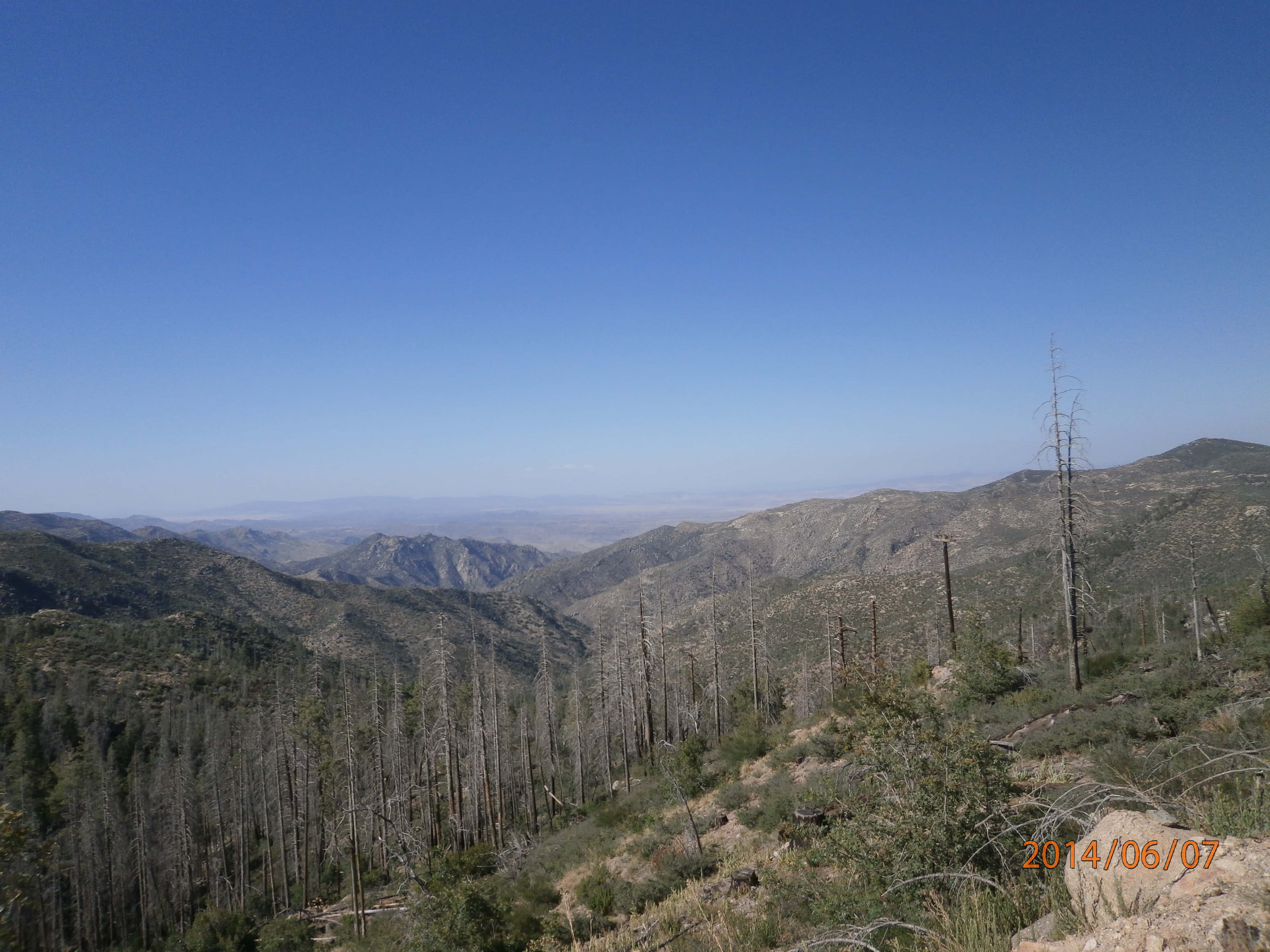
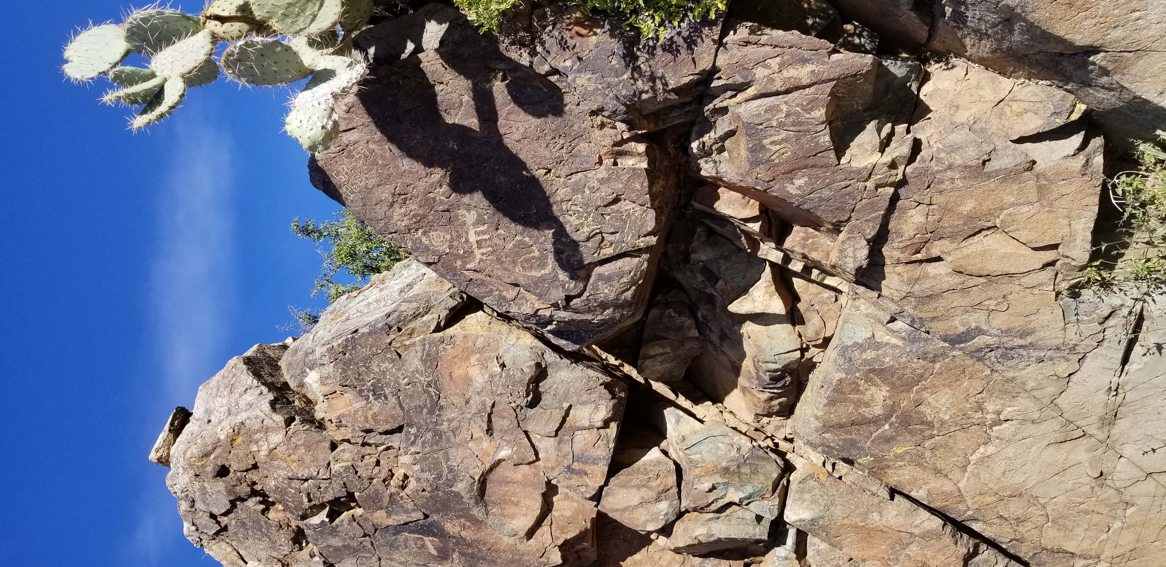
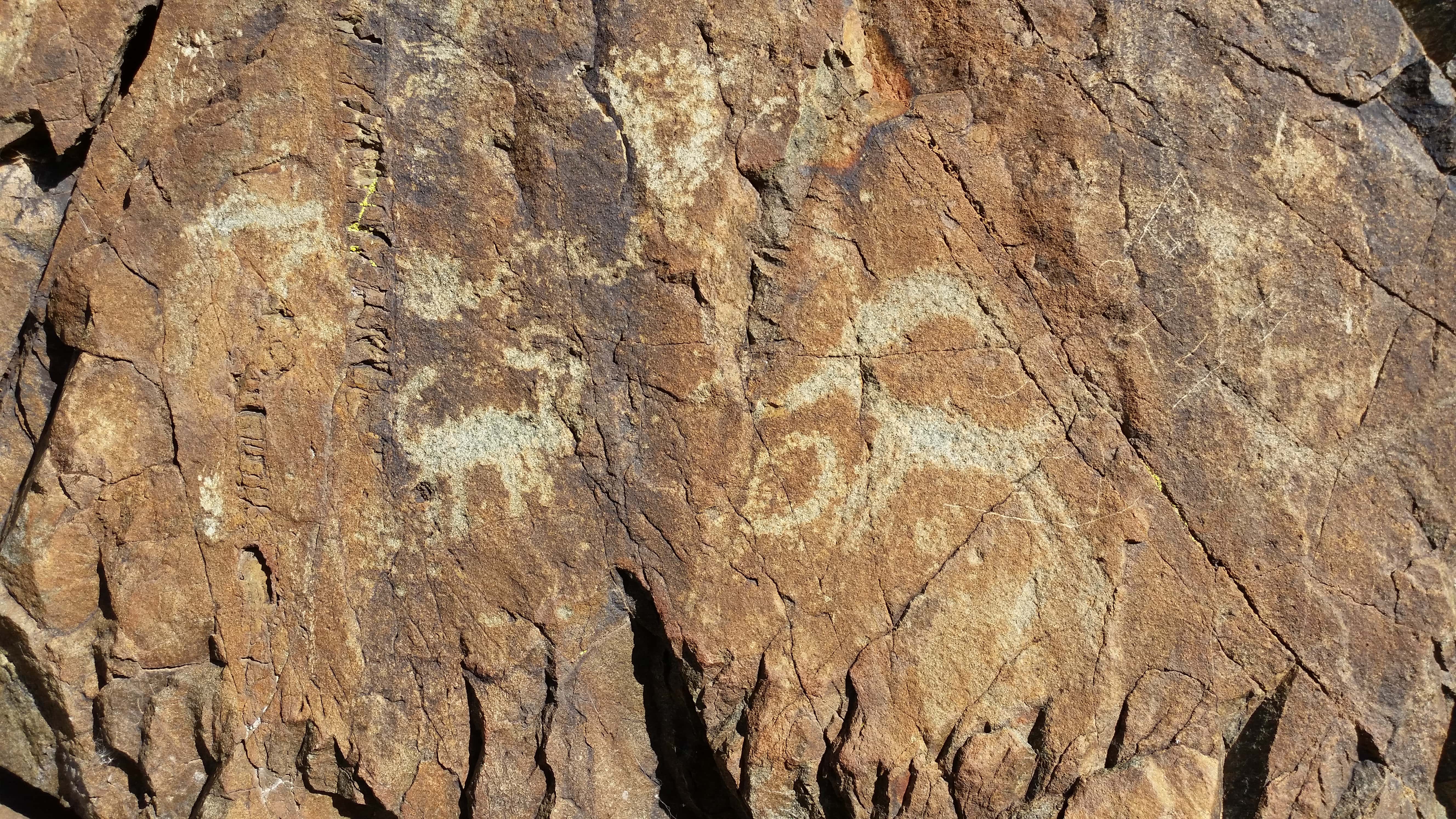
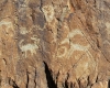
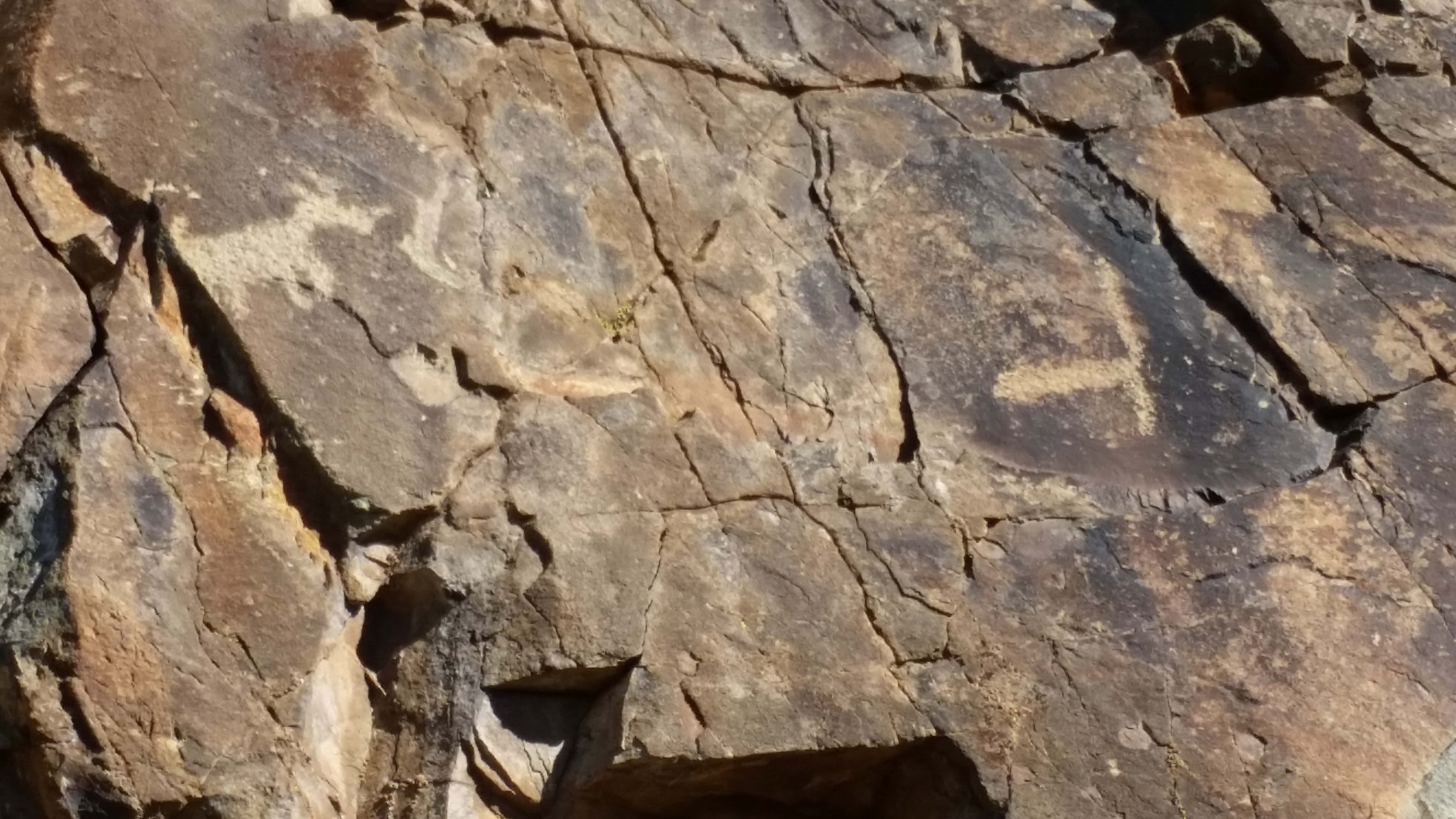
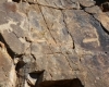
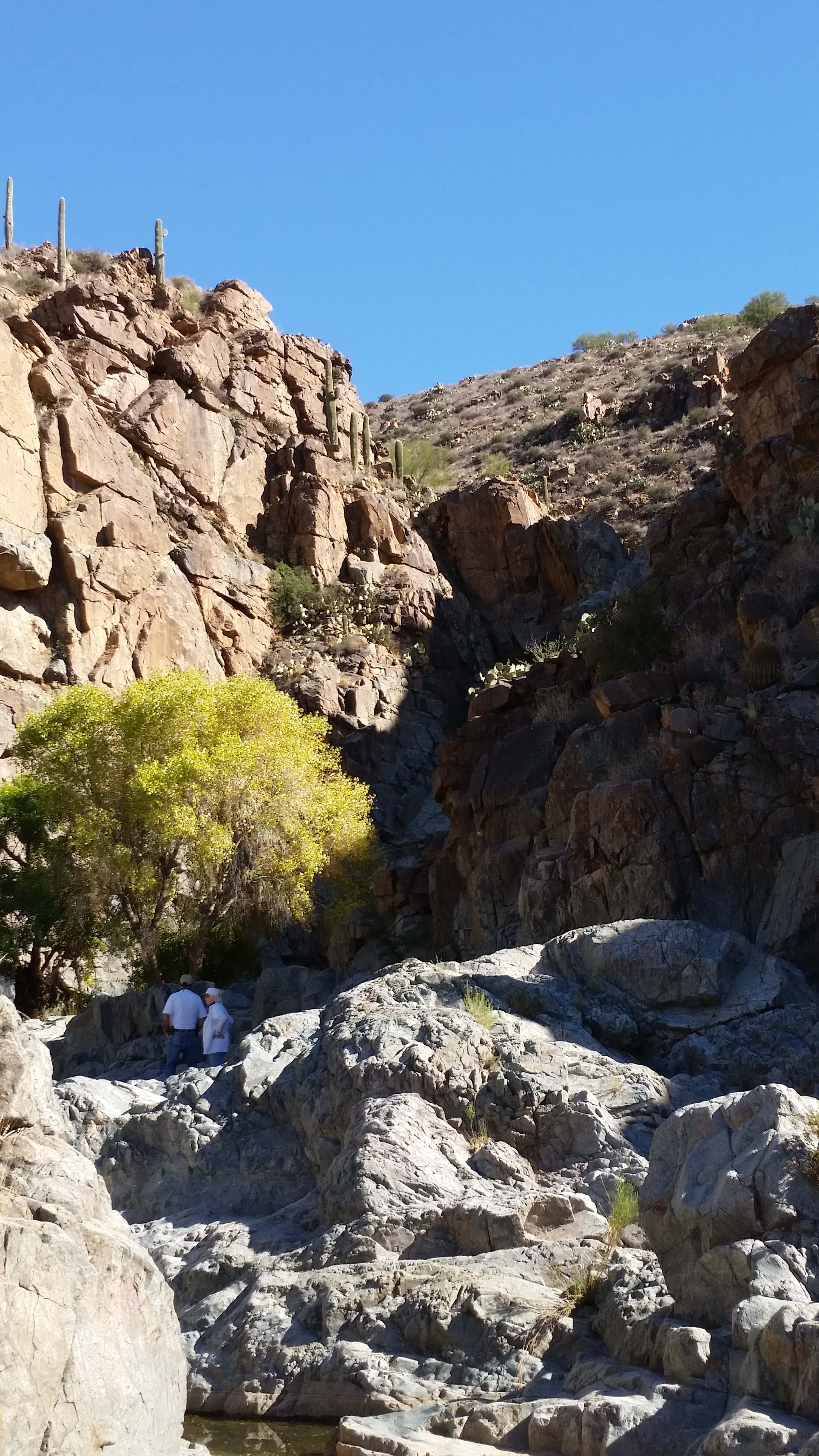
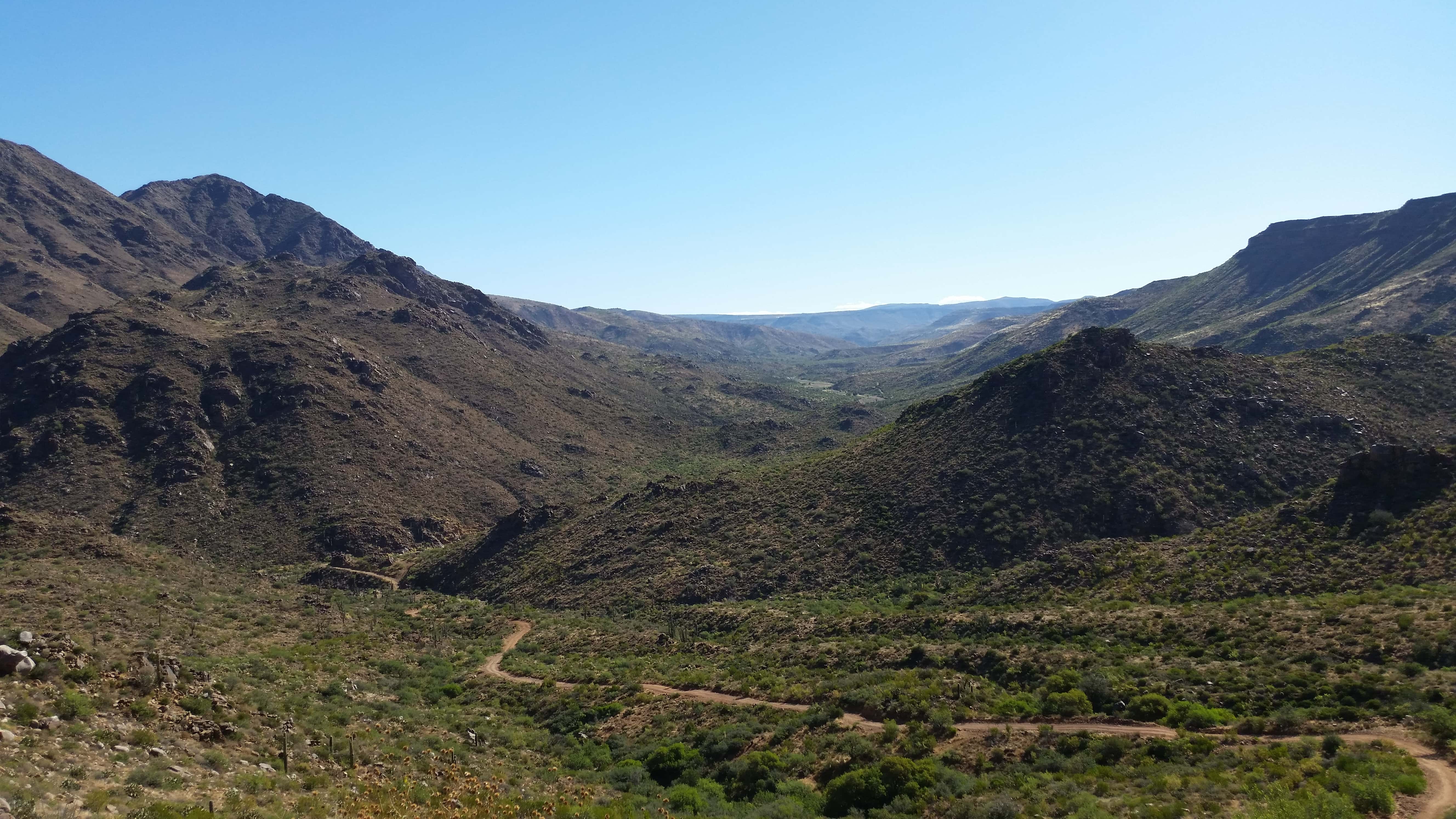
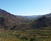
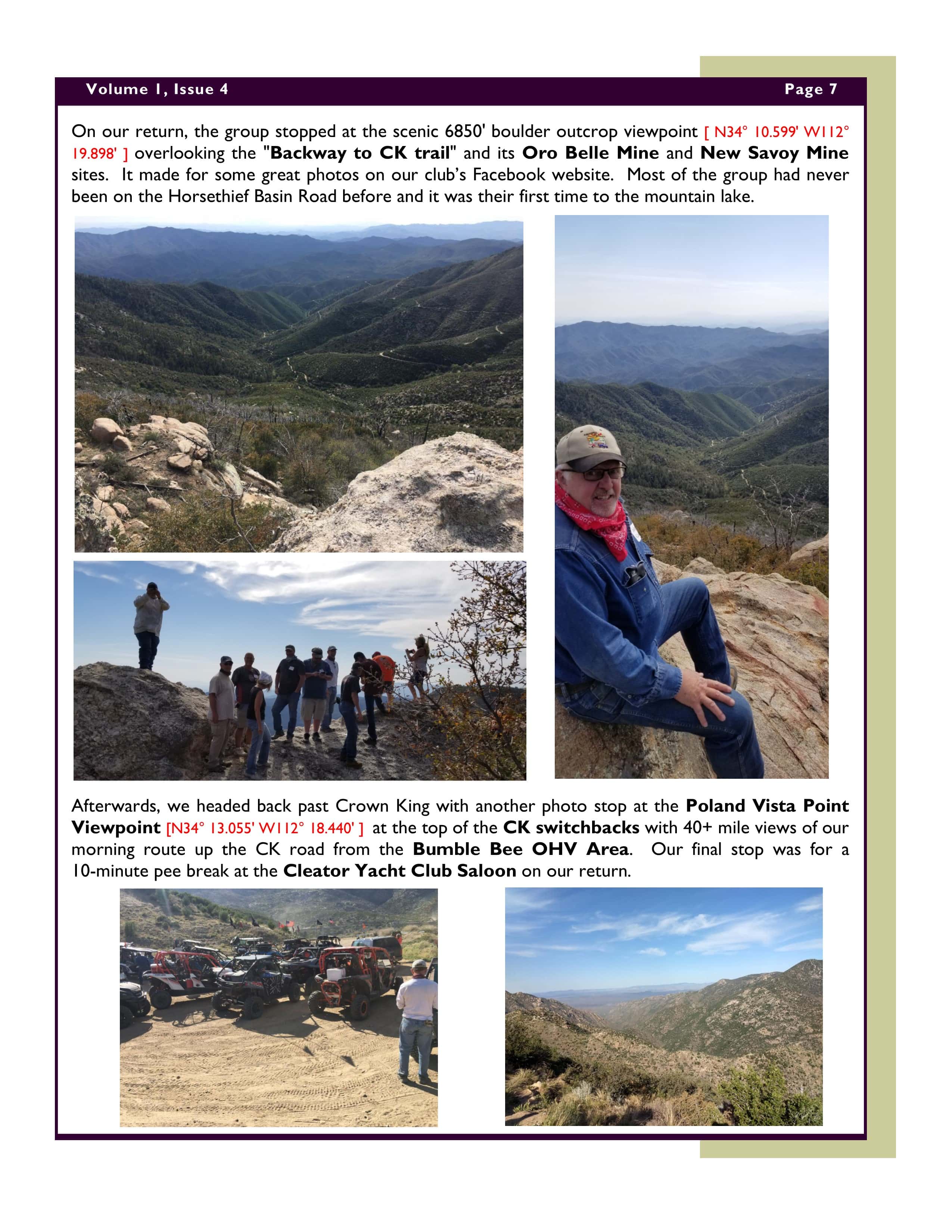
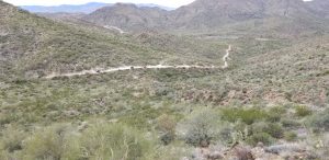
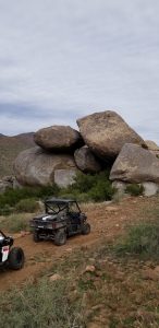
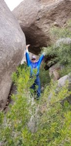
The first 12 miles of FR41 are the roughest section of the day ride with a lot of loose rock and a few off-cambered and bedrock sections on the trail. It has many changing elevations and very scenic canyons and hillsides. Our first photo stop was 10 miles in and on top of a major summit switchback looking down 1000′ and out over the entire New River Canyon valley formed by nearby Red Mountain. After our descent, our next meet-and-greet stop was at 13.5 miles at the Snyder Rock Formation where a number of people entered the opening under the massive balanced boulders to take photos. At this point, the Coyote flight caught up with the Roadrunners and passed the stopped group. Ray, Toni, and Albert also rejoined the Roadrunners at this scenic stop. We had met a small group of 3 SxSs on our arrival at the Snyder Rock Formation. We met them a few miles later replacing a blown tire but declined our assistance and said they were okay. At 17.5 miles, the east-side second half of FR41 becomes a smooth-graded road running on ridge tops and around scenic rock formations which made for some fast fun ridge-top riding all the way to Cave Creek Road [FR24]. That section was a lot of fun to drive! For camera buffs, there are a lot of interesting rock formations on the east side of FR41 that would make for some really nice photo opportunities of the canyon trail.
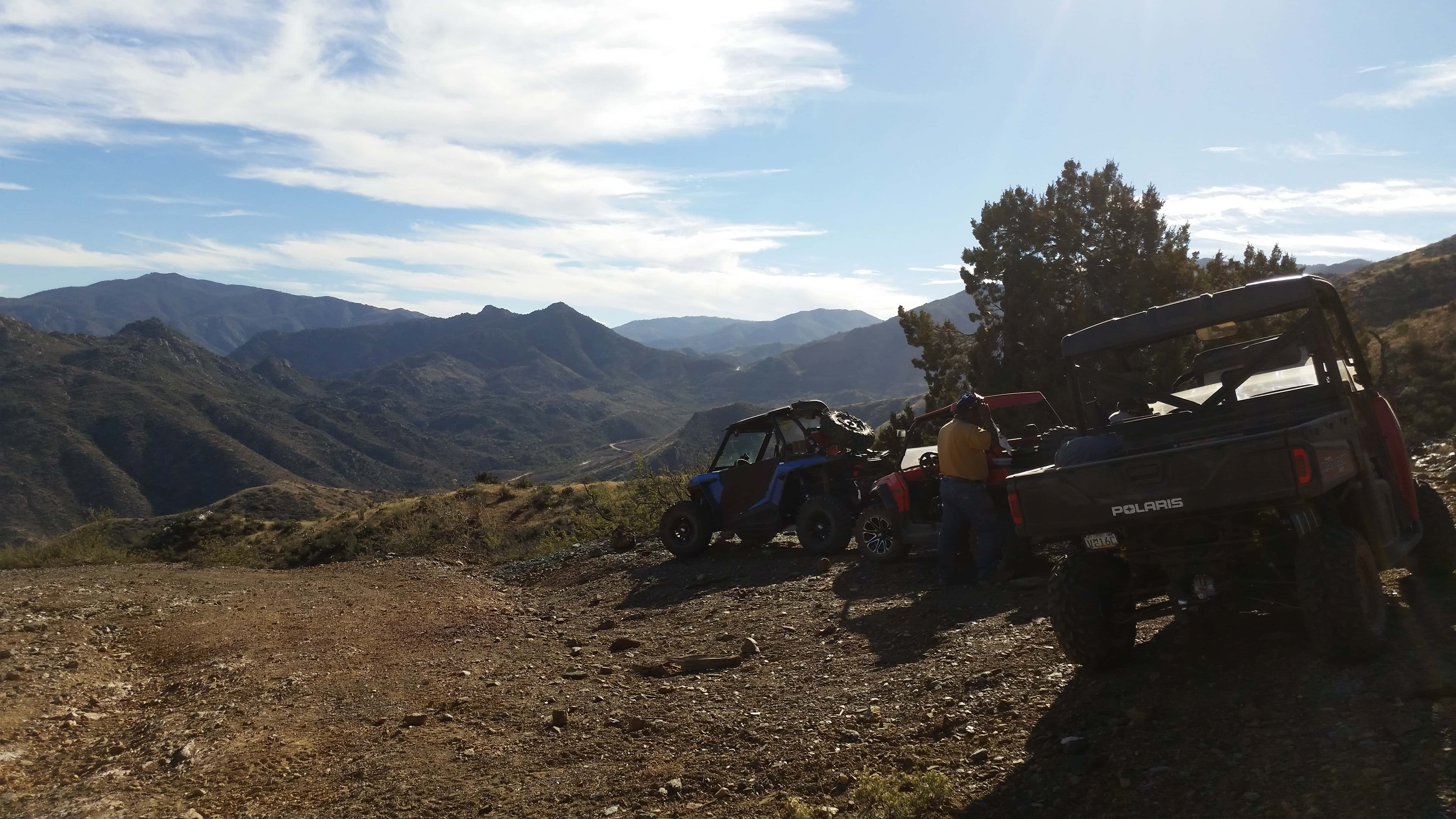
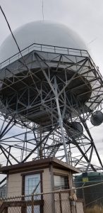
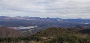
Arriving at the end of FR41 where it hits the dirt Cave Creek Rd (FR24), we collapsed the group to travel as a tight pack south to the Cave Creek Trailhead parking lot/vaulted toilets for lunch. We figured the Coyote flight had continued up to Humboldt Mtn for lunch but found out later that they had stopped at the Seven Springs Campground a block away for their lunch stop. The Coyote flight took off first towards Humboldt Mtn so we extended our meet-and-greet lunch break knowing it would be too crowded for all of our vehicles at the top. After lunch, the Roadrunner flight headed south on FR24 past the historic Seven Springs CCC Campground area to the SR562 turnoff to Humboldt Mtn. ADOT had repaved the narrow SR562 road last year making it a quick dust-free 4-mile ascent from 3200′ up to the 5150′ FAA radar installation mountaintop. On our way up, the two flights passed each other taking pictures and videos. Everyone enjoyed the views from the top of Humboldt Mtn and were impressed by its massive FAA radar installation. The visibility and notable landmark views were great! Highlight views included Weavers Needle and the Superstitions Mtns to the distant southeast. On the southwest side of the FAA radar installation, you could see Pinnacle Peak, Camelback Mtn, and South Mtn in Phoenix. To the east and northeast, we had great views of our route up from FR24 and across the many miles of the Cave Creek Mining District and mountain ranges that we had been driving through. Horseshoe Lake has been drained into Bartlett Lake in the past few months so it was only at about 25% capacity.
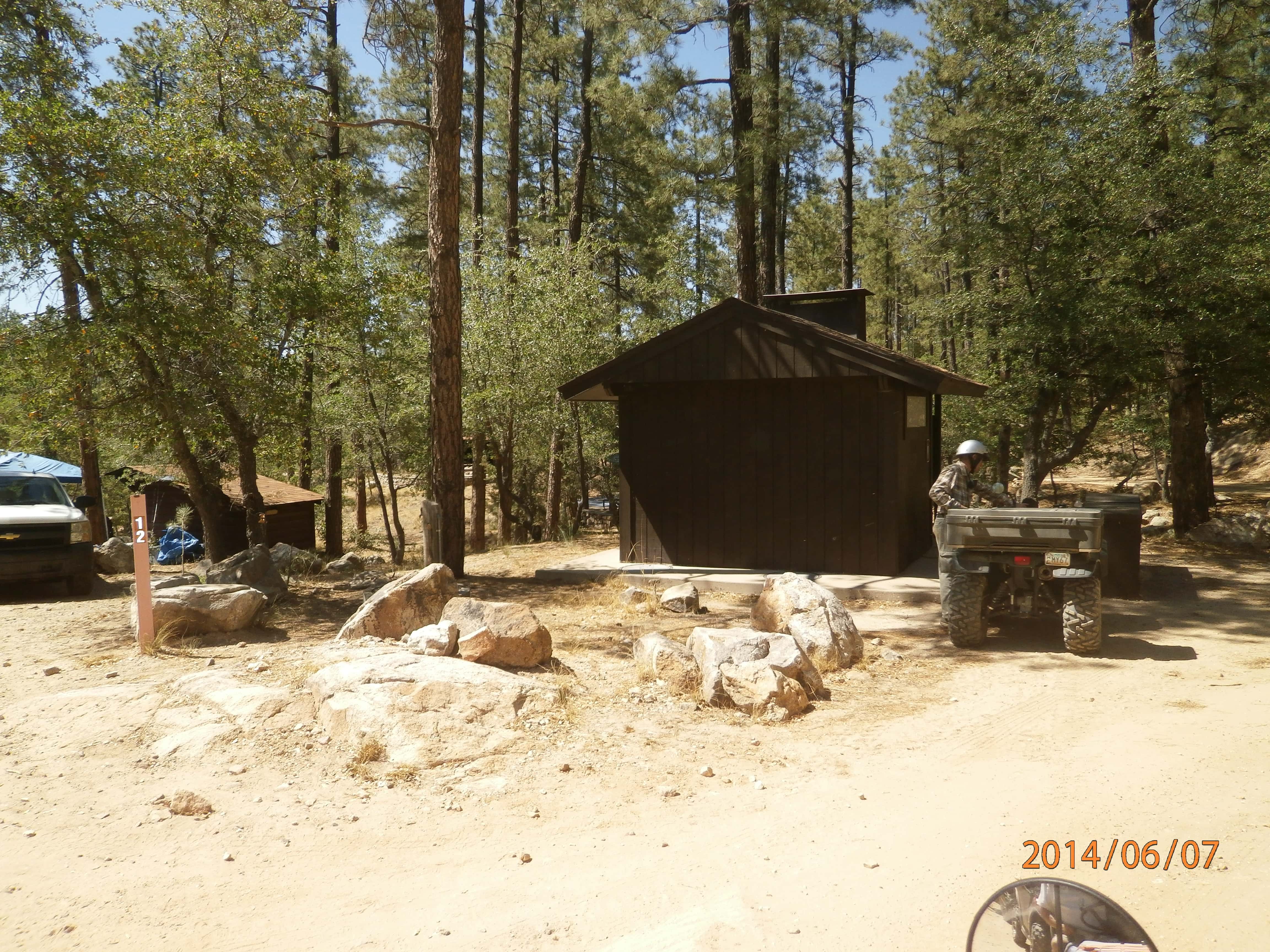
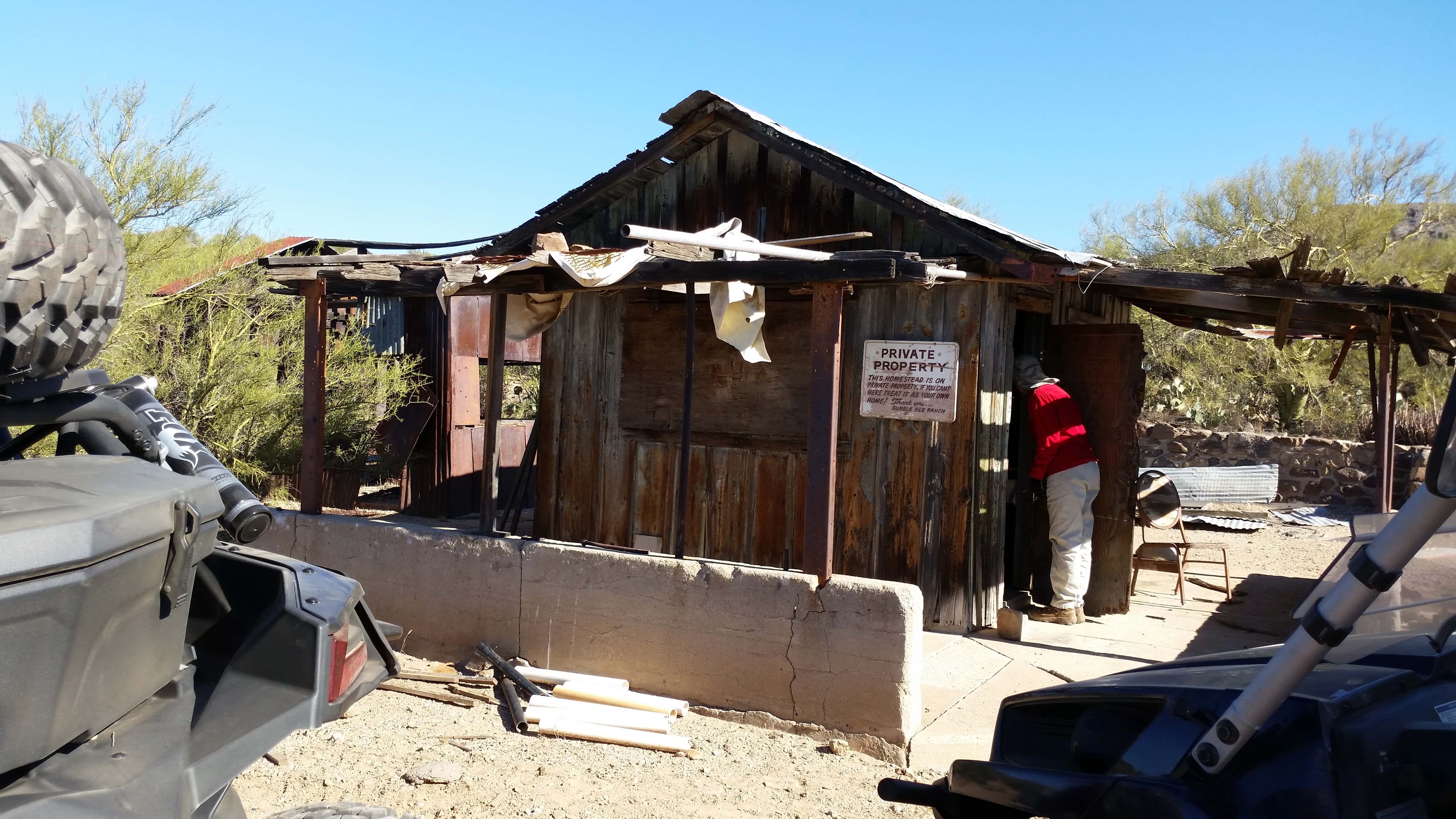
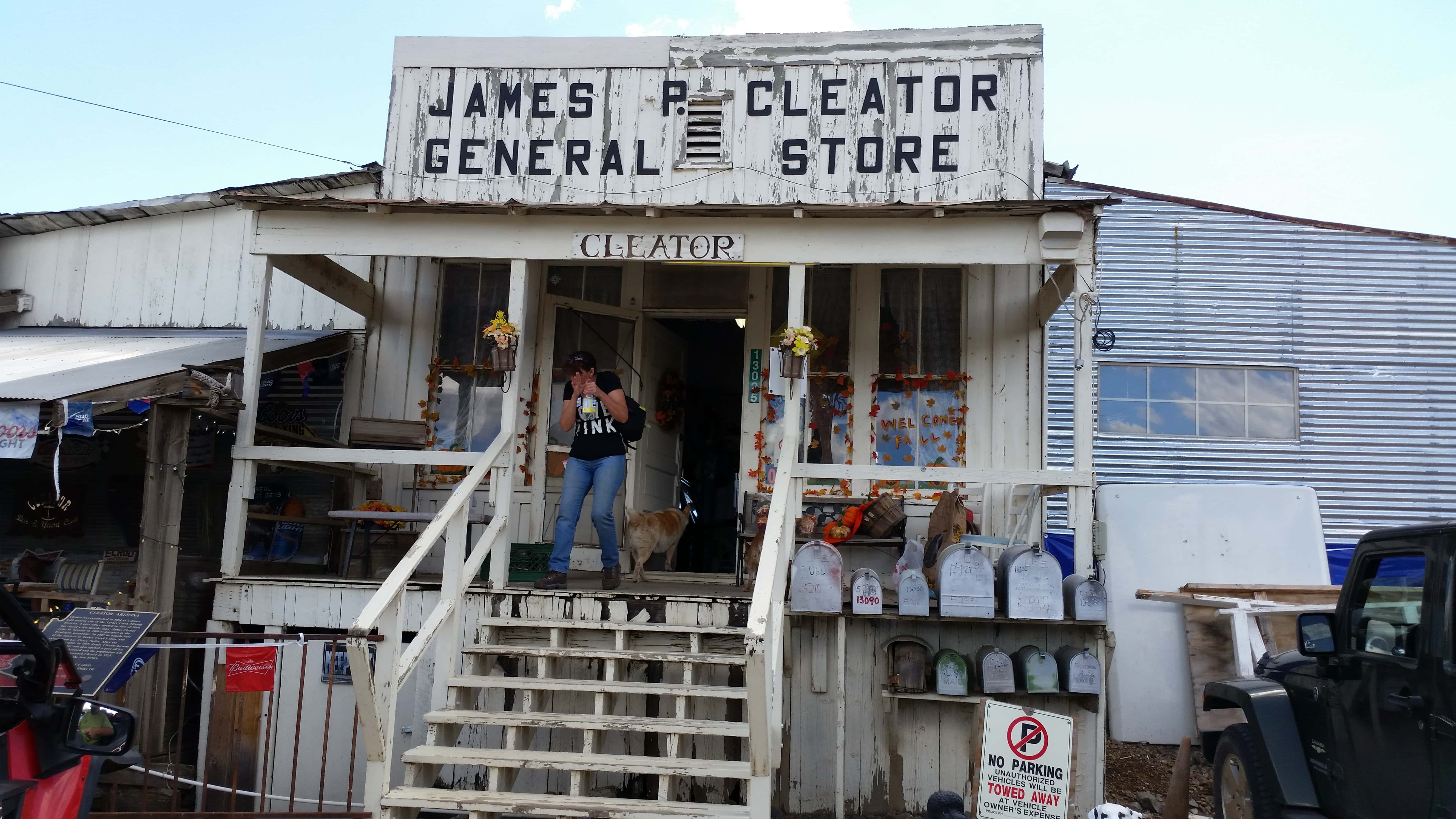
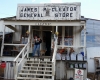
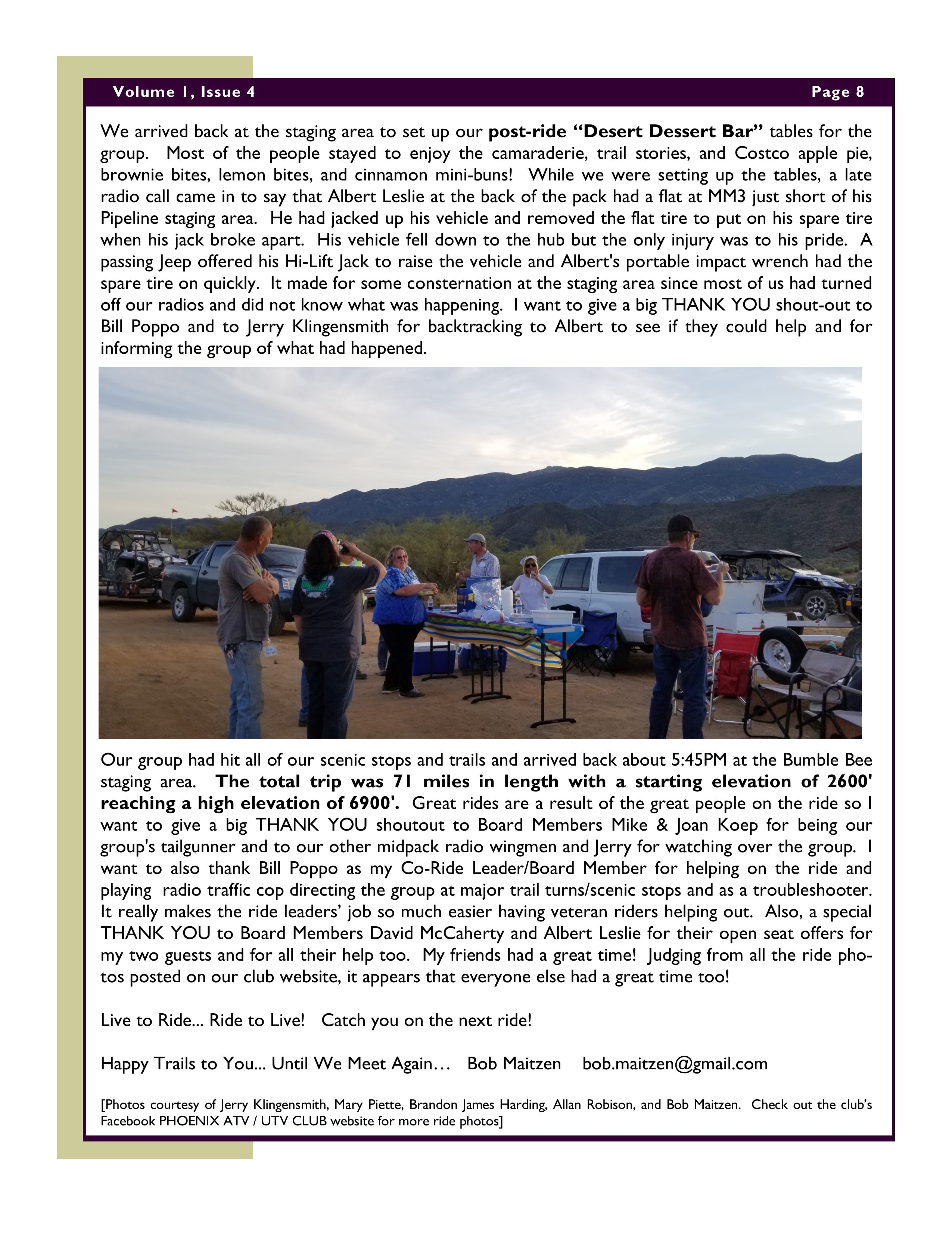
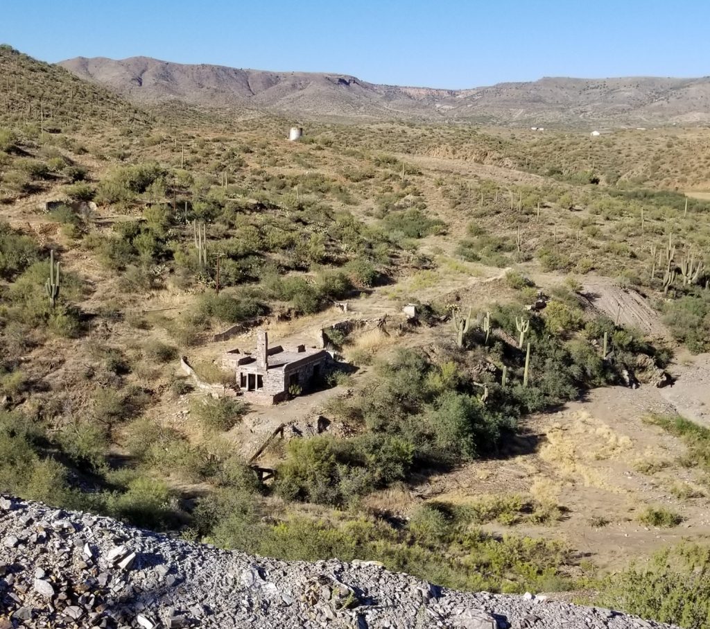
We headed back down with a second pee break stop at the Cave Creek Trailhead vaulted toilets. Due to time constraints, we did not go the nearby Big Maggie May trail [FR468] through the switchbacks of Gray Gulch to see the remains of a stone line-cabin in the Cave Creek Mining District. The stone cabin remains and Big Maggie May Trail are noted in many trail books. We headed back over the same FR41 route to our staging area. On our return, it was impressive to see so many vehicles winding their way up and down the hills and around the FR41 switchbacks. It would have made a great video clip. We stopped on the way back at the Robber’s Roost ranch ruins and again at the Staghorn Cactus Forest Campsite to stretch our legs and wipe our windshields.
The Roadrunners flight got back late at 4:45PM. I don’t know what time the Coyotes flight returned but they had already departed the staging area.
Overall, the Show Me ride was a nice fun ride and one to remember with meeting new riding buddies and great scenic views. Live to Ride… Ride to Live! Again, thanks to everyone for a great ride!
Happy Holidays and Happy Trails to All !
Bob Maitzen